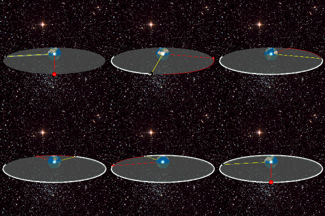
దస్త్రం:Geostationaryjava3Dsideview.gif
Jump to navigation
Jump to search
Geostationaryjava3Dsideview.gif (220 × 220 పిక్సెళ్ళు, ఫైలు పరిమాణం: 111 KB, MIME రకం: image/gif, లూపులో పడింది, 163 ఫ్రేములు, 12క్ష)
ఫైలు చరితం
తేదీ/సమయం ను నొక్కి ఆ సమయాన ఫైలు ఎలా ఉండేదో చూడవచ్చు.
| తేదీ/సమయం | నఖచిత్రం | కొలతలు | వాడుకరి | వ్యాఖ్య | |
|---|---|---|---|---|---|
| ప్రస్తుత | 05:04, 12 జూన్ 2013 |  | 220 × 220 (111 KB) | Lookang | updated earth texture with public domain better resolution |
| 05:02, 12 జూన్ 2013 |  | 220 × 220 (420 KB) | Lookang | updated with public domain earth texture. radius of earth is proportional to geostationary orbit now | |
| 01:29, 27 జూన్ 2011 |  | 220 × 220 (420 KB) | Lookang |
లింకులు
కింది పేజీలలో ఈ ఫైలుకు లింకులు ఉన్నాయి:
సార్వత్రిక ఫైలు వాడుక
ఈ దస్త్రాన్ని ఈ క్రింది ఇతర వికీలు ఉపయోగిస్తున్నాయి:
- ar.wikipedia.org లో వాడుక
- ast.wikipedia.org లో వాడుక
- bn.wikipedia.org లో వాడుక
- ca.wikipedia.org లో వాడుక
- en.wikipedia.org లో వాడుక
- eo.wikipedia.org లో వాడుక
- es.wikipedia.org లో వాడుక
- es.wikiversity.org లో వాడుక
- et.wikipedia.org లో వాడుక
- fa.wikipedia.org లో వాడుక
- fr.wikipedia.org లో వాడుక
- gl.wikipedia.org లో వాడుక
- he.wikipedia.org లో వాడుక
- hi.wikipedia.org లో వాడుక
- hu.wikipedia.org లో వాడుక
- ml.wikipedia.org లో వాడుక
- ms.wikipedia.org లో వాడుక
- no.wikipedia.org లో వాడుక
- pl.wikipedia.org లో వాడుక
- pt.wikipedia.org లో వాడుక
- ru.wikipedia.org లో వాడుక
- simple.wikipedia.org లో వాడుక
- ta.wikipedia.org లో వాడుక
- tg.wikipedia.org లో వాడుక
- th.wikipedia.org లో వాడుక
- uk.wikipedia.org లో వాడుక
- zh.wikipedia.org లో వాడుక
