దస్త్రం:LocationEurope.png
Jump to navigation
Jump to search

ఈ మునుజూపు పరిమాణం: 800 × 407 పిక్సెళ్ళు. ఇతర రిజల్యూషన్లు: 320 × 163 పిక్సెళ్ళు | 640 × 326 పిక్సెళ్ళు | 1,024 × 521 పిక్సెళ్ళు | 1,280 × 651 పిక్సెళ్ళు | 2,759 × 1,404 పిక్సెళ్ళు.
అసలు దస్త్రం (2,759 × 1,404 పిక్సెళ్ళు, ఫైలు పరిమాణం: 99 KB, MIME రకం: image/png)
This is a file from the Wikimedia Commons. Information from its description page there is shown below. Commons is a freely licensed media file repository. You can help. |

|
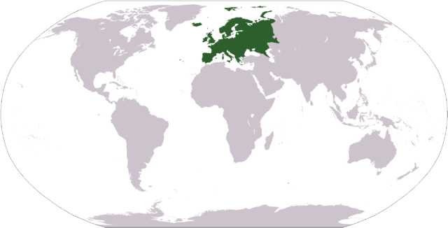
File:LocationEuropeGreen.svg is a vector version of this file. It should be used in place of this PNG file when not inferior.
File:LocationEurope.png → File:LocationEuropeGreen.svg
For more information, see Help:SVG. |
 |
| వివరణ |
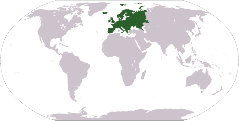
Deutsch: Weltkarte mit Fokus auf Europa.
English: World map depicting Europe.
Esperanto: Mondmapo bildiganta Eŭropon.
Español: Ubicación de Europa.
Українська: Карта світу, на якій виділена Європа.
Bahasa Indonesia: Peta dunia yang menyoroti Eropa. |
| తేదీ | |
| మూలం | own work - map adapted from PDF world map at CIA World Fact Book |
| కర్త | user:Cumhur |
| ఇతర కూర్పులు |
Derivative works of this file: Wikinews Europa mapa.png - |
This image is in the public domain because it contains materials that originally came from the United States Central Intelligence Agency's World Factbook.
|
 |
ఫైలు చరితం
తేదీ/సమయం ను నొక్కి ఆ సమయాన ఫైలు ఎలా ఉండేదో చూడవచ్చు.
| తేదీ/సమయం | నఖచిత్రం | కొలతలు | వాడుకరి | వ్యాఖ్య | |
|---|---|---|---|---|---|
| ప్రస్తుత | 11:42, 28 సెప్టెంబరు 2008 | | 2,759 × 1,404 (99 KB) | Aaker | Reverted to version as of 12:40, 19 January 2008 |
| 19:29, 27 సెప్టెంబరు 2008 |  | 2,759 × 1,404 (85 KB) | Octane | eurosocialist revisionism GTFO the definition of the continent | |
| 12:40, 19 జనవరి 2008 |  | 2,759 × 1,404 (99 KB) | F l a n k e r | Transparency | |
| 10:36, 31 జనవరి 2007 |  | 2,759 × 1,404 (56 KB) | FrancisTyers~commonswiki | Please do not change a widely used image without discussion beforehand. | |
| 08:20, 31 జనవరి 2007 |  | 2,759 × 1,404 (84 KB) | Der Eberswalder | {{Information |Description= |Source= |Date= |Author=Der Eberswalder |Permission=Public Domain |other_versions= }} | |
| 08:58, 8 ఏప్రిల్ 2006 |  | 2,759 × 1,404 (56 KB) | E Pluribus Anthony~commonswiki | World map: Europe (location) | |
| 22:42, 17 డిసెంబరు 2005 |  | 2,759 × 1,404 (56 KB) | E Pluribus Anthony~commonswiki | World map: Europe (location) | |
| 22:29, 17 డిసెంబరు 2005 |  | 2,759 × 1,404 (56 KB) | E Pluribus Anthony~commonswiki | World map: Europe (location) | |
| 20:54, 17 డిసెంబరు 2005 |  | 2,759 × 1,404 (56 KB) | E Pluribus Anthony~commonswiki | World map: Europe (location) | |
| 19:26, 3 నవంబరు 2005 |  | 2,759 × 1,404 (56 KB) | E Pluribus Anthony~commonswiki | World map: Europe (location) |
లింకులు
కింది పేజీలలో ఈ ఫైలుకు లింకులు ఉన్నాయి:
- అంటార్కిటికా
- అట్లాంటిక్ మహాసముద్రం
- ఆఫ్రికా
- ఆర్కిటిక్
- ఆసియా
- ఏజియన్ సముద్రం
- ఐరోపా
- కుమారి ఖండం
- ఖండం
- జీలాండియా
- తెల్ల సముద్రం
- దక్షిణ మహాసముద్రం
- దక్షిణాసియా
- పసిఫిక్ మహాసముద్రం
- పసుపు సముద్రం
- భారత ఉపఖండం
- మధ్య ఆసియా
- మహాసముద్రం
- వాటికన్ నగరం
- సముద్రం
- హిందూ మహాసముద్రం
- వాడుకరి:వైజాసత్య/ఇసుకపెట్టె5
- వికీపీడియా:వికీప్రాజెక్టు/ప్రపంచదేశాలు
- మూస:ప్రపంచం
సార్వత్రిక ఫైలు వాడుక
ఈ దస్త్రాన్ని ఈ క్రింది ఇతర వికీలు ఉపయోగిస్తున్నాయి:
- am.wikipedia.org లో వాడుక
- arc.wikipedia.org లో వాడుక
- ar.wikipedia.org లో వాడుక
- البحر الأبيض المتوسط
- آسيا
- أوروبا
- قارة
- المحيط الهندي
- المحيط الهادئ
- القارة القطبية الجنوبية
- أوقيانوسيا
- أمريكا الشمالية
- أمريكا الجنوبية
- لسانيات أوروبا
- أوروبا الشرقية
- القطب الشمالي
- أوروبا الوسطى
- أوروبا الشمالية
- القوقاز
- شمال إفريقيا
- بحر
- أغسطس 2005
- المنطقة القطبية الجنوبية
- المحيط المتجمد الشمالي
- القرن الإفريقي
- يوروبوب
- غرب آسيا
- آسيا الوسطى
- جنوب آسيا
- شرق آسيا
- جنوب شرق آسيا
- المحيط الجنوبي
ఈ దస్త్రపు మరింత సార్వత్రిక వాడుకను చూడండి.