దస్త్రం:Location map India Telangana (blank).svg
Jump to navigation
Jump to search

ఈ ఫైలు SVG కు చెందిన ఈ మునుజూపు PNG పరిమాణం: 800 × 553 పిక్సెళ్ళు. ఇతర రిజల్యూషన్లు: 320 × 221 పిక్సెళ్ళు | 640 × 443 పిక్సెళ్ళు | 1,024 × 708 పిక్సెళ్ళు | 1,280 × 885 పిక్సెళ్ళు | 2,560 × 1,770 పిక్సెళ్ళు | 1,070 × 740 పిక్సెళ్ళు.
అసలు దస్త్రం (SVG ఫైలు, నామమాత్రంగా 1,070 × 740 పిక్సెళ్ళు, ఫైలు పరిమాణం: 424 KB)
This is a file from the Wikimedia Commons. Information from its description page there is shown below. Commons is a freely licensed media file repository. You can help. |
సారాంశం
| వివరణ |
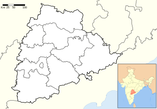
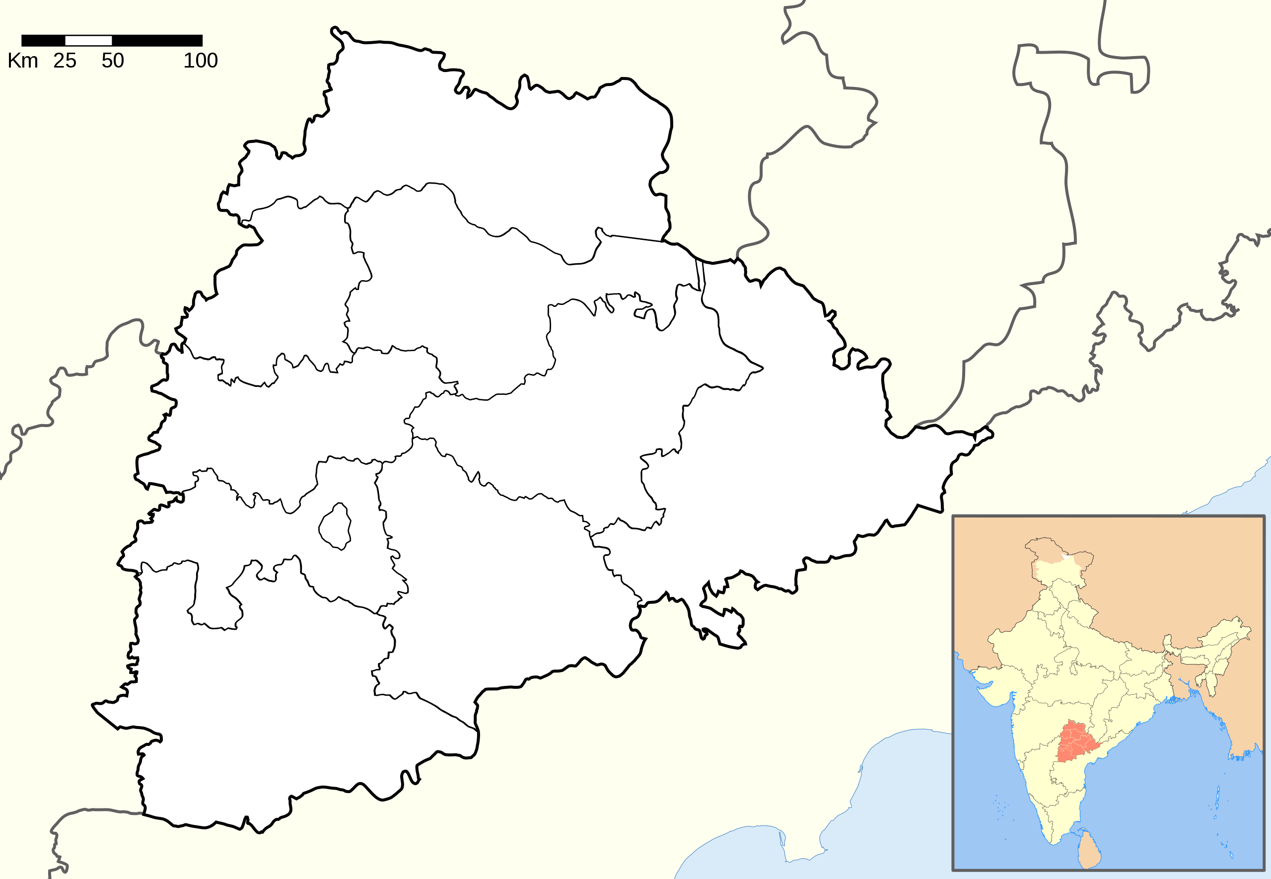
English: Location map of Telangana.
The borders of Chhattisgarh are copied from the overview map to the detail map and are therefore less accurate.coordinates:
|
| తేదీ | |
| మూలం |
This file was derived from: and based on: |
| కర్త |
|

.svg)
.svg)
This vector image was created with Adobe Illustrator.
లైసెన్సింగ్
ఈ దస్త్రం క్రియేటివ్ కామన్స్ Attribution-Share Alike 3.0 Unported లైసెన్సు క్రింద లభ్యం.
ఆపాదింపు: Wikipedia: PlaneMad, Maklaan
- ఇలా చేసేందుకు మీకు స్వేచ్ఛ ఉంది:
- పంచుకోడానికి – ఈ కృతిని కాపీ చేసుకోవచ్చు, పంపిణీ చేయవచ్చు, ప్రసారమూ చేయవచ్చు
- రీమిక్స్ చేయడానికి – కృతిని అనుకరించడానికి
- క్రింది షరతులకు లోబడి:
- ఆపాదింపు – సముచితమైన శ్రేయస్సును ఇవ్వాలి, లైసెన్సుకు లింకు ఇవ్వాలి, మార్పులేమైనా చేస్తే వాటిని సూచించాలి. అందుకు సముచితమైన పద్ధతి దేన్నైనా అవలంబించవచ్చు. కానీ మీకూ మీ వాడుకకూ హక్కుదారు అనుమతించారు అనే అర్థం వచ్చేటట్లుగా మాత్రం కాదు.
- share alike – మీరు ఈ కృతిని అనుకరిస్తే, మారిస్తే, లేదా మెరుగుపరిస్తే తత్ఫలిత కృతిని ఇదే లైసెన్సు లేదా దీనికి అనుగుణ్యమైన లైసెన్సు క్రింద మాత్రమే పంపిణీ చేయాలి.
ఫైలు చరితం
తేదీ/సమయం ను నొక్కి ఆ సమయాన ఫైలు ఎలా ఉండేదో చూడవచ్చు.
| తేదీ/సమయం | నఖచిత్రం | కొలతలు | వాడుకరి | వ్యాఖ్య | |
|---|---|---|---|---|---|
| ప్రస్తుత | 09:44, 24 డిసెంబరు 2014 | | 1,070 × 740 (424 KB) | Maklaan | {{Information |Description ={{en|1=Location map of Telangana. ''The detail map was missing data on the Chhattisgarh borders. The borders were copied from the overview map and are therefore less accurate.'' <br /> coordinates: *top=19.957 *bottom=15... |
లింకులు
ఈ ఫైలును వాడుతున్న పేజీలు లేవు.
సార్వత్రిక ఫైలు వాడుక
ఈ దస్త్రాన్ని ఈ క్రింది ఇతర వికీలు ఉపయోగిస్తున్నాయి:
- en.wikipedia.org లో వాడుక
- pa.wikipedia.org లో వాడుక
- zh.wikipedia.org లో వాడుక
.svg)