దస్త్రం:MaharashtraKolhapur.png
Jump to navigation
Jump to search
ఈ మునుజూపు పరిమాణం: 778 × 600 పిక్సెళ్ళు. ఇతర రిజల్యూషన్లు: 312 × 240 పిక్సెళ్ళు | 623 × 480 పిక్సెళ్ళు | 997 × 768 పిక్సెళ్ళు | 1,280 × 987 పిక్సెళ్ళు | 2,168 × 1,671 పిక్సెళ్ళు.
అసలు దస్త్రం (2,168 × 1,671 పిక్సెళ్ళు, ఫైలు పరిమాణం: 426 KB, MIME రకం: image/png)
This is a file from the Wikimedia Commons. Information from its description page there is shown below. Commons is a freely licensed media file repository. You can help. |
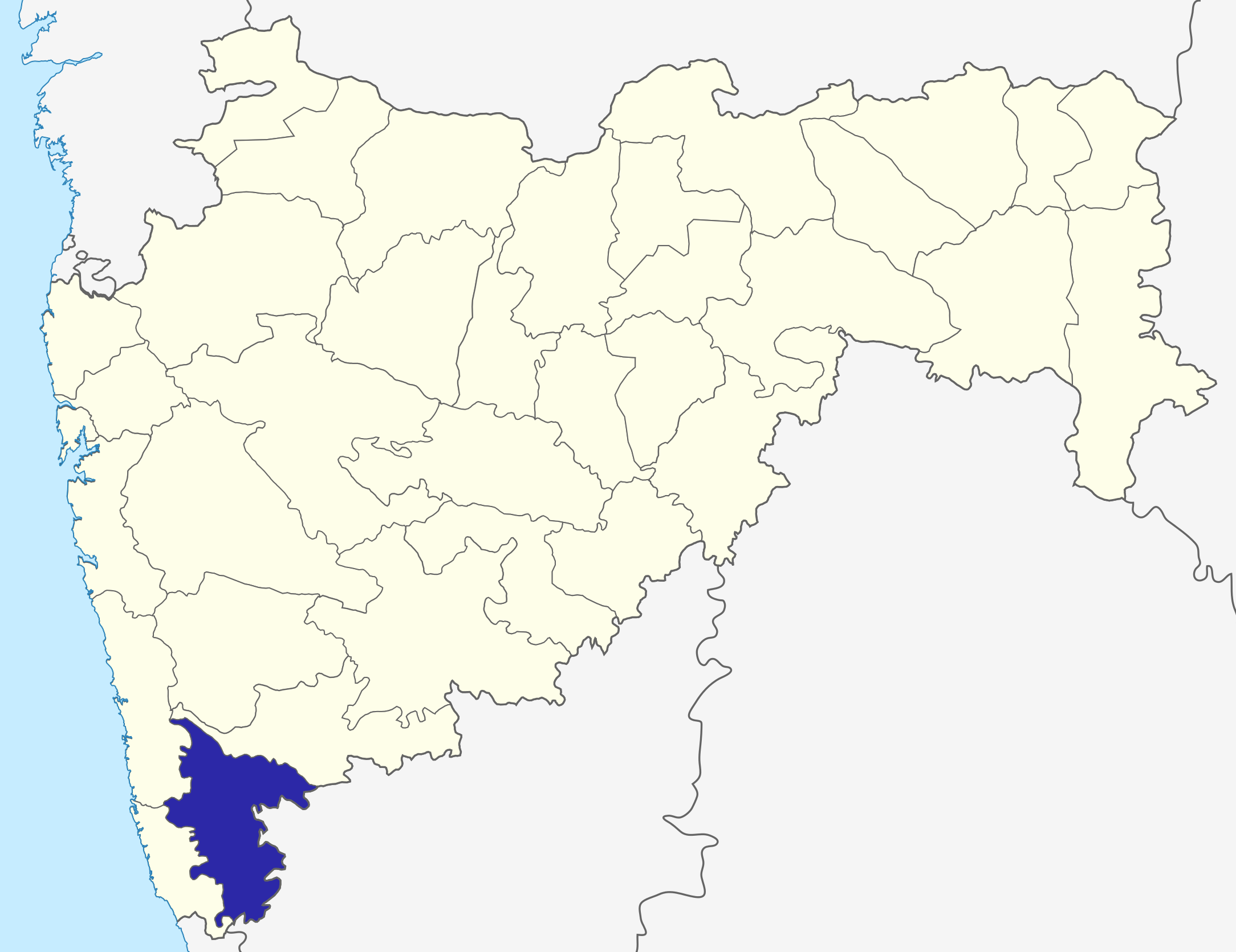
| వివరణ | Kolhapur District map in Maharashtra |
| తేదీ | (UTC) |
| మూలం | |
| కర్త |
|
| This is a retouched picture, which means that it has been digitally altered from its original version. The original can be viewed here: Maharashtra locator map.svg:
|
నేను, ఈ కృతి యొక్క కాపీహక్కుదారుని, దీన్ని ఈ లైసెన్సు క్రింద ఇందుమూలముగా ప్రచురిస్తున్నాను:
ఈ దస్త్రం క్రియేటివ్ కామన్స్ Attribution-Share Alike 3.0 Unported లైసెన్సు క్రింద లభ్యం.
- ఇలా చేసేందుకు మీకు స్వేచ్ఛ ఉంది:
- పంచుకోడానికి – ఈ కృతిని కాపీ చేసుకోవచ్చు, పంపిణీ చేయవచ్చు, ప్రసారమూ చేయవచ్చు
- రీమిక్స్ చేయడానికి – కృతిని అనుకరించడానికి
- క్రింది షరతులకు లోబడి:
- ఆపాదింపు – సముచితమైన శ్రేయస్సును ఇవ్వాలి, లైసెన్సుకు లింకు ఇవ్వాలి, మార్పులేమైనా చేస్తే వాటిని సూచించాలి. అందుకు సముచితమైన పద్ధతి దేన్నైనా అవలంబించవచ్చు. కానీ మీకూ మీ వాడుకకూ హక్కుదారు అనుమతించారు అనే అర్థం వచ్చేటట్లుగా మాత్రం కాదు.
- share alike – మీరు ఈ కృతిని అనుకరిస్తే, మారిస్తే, లేదా మెరుగుపరిస్తే తత్ఫలిత కృతిని ఇదే లైసెన్సు లేదా దీనికి అనుగుణ్యమైన లైసెన్సు క్రింద మాత్రమే పంపిణీ చేయాలి.
అసలు ఎక్కింపుల చిట్టా
This image is a derivative work of the following images:
- File:Maharashtra_locator_map.svg licensed with Cc-by-sa-3.0
- 2008-12-21T12:11:22Z PlaneMad 2789x2232 (365545 Bytes) {{Information |Description= |Source= |Date= |Author= |Permission= |other_versions= }}
- 2008-12-21T12:08:04Z PlaneMad 2789x2232 (365091 Bytes) {{Information |Description={{en|1=map}} |Source=Own work by uploader |Author=[[User:PlaneMad|PlaneMad]] |Date= |Permission= |other_versions= }}
Uploaded with derivativeFX
ఫైలు చరితం
తేదీ/సమయం ను నొక్కి ఆ సమయాన ఫైలు ఎలా ఉండేదో చూడవచ్చు.
| తేదీ/సమయం | నఖచిత్రం | కొలతలు | వాడుకరి | వ్యాఖ్య | |
|---|---|---|---|---|---|
| ప్రస్తుత | 06:33, 6 అక్టోబరు 2015 | | 2,168 × 1,671 (426 KB) | Abhijitsathe | State map updated to reflect new Palghar district |
| 22:03, 21 సెప్టెంబరు 2009 |  | 2,789 × 2,232 (955 KB) | Abhijitsathe | India map inset | |
| 15:34, 10 ఏప్రిల్ 2009 |  | 2,789 × 2,232 (793 KB) | Abhijitsathe | {{Information |Description=Kolhapur District map in Maharashtra |Source=*File:Maharashtra_locator_map.svg |Date=2009-04-10 16:33 (UTC) |Author=*File:Maharashtra_locator_map.svg: '''PlaneMad''' *derivative work: ~~~ |Permission=see below |other |
లింకులు
ఈ ఫైలును వాడుతున్న పేజీలు లేవు.