దస్త్రం:Ocean City Maryland aerial view north.jpg
Jump to navigation
Jump to search
ఈ మునుజూపు పరిమాణం: 800 × 534 పిక్సెళ్ళు. ఇతర రిజల్యూషన్లు: 320 × 214 పిక్సెళ్ళు | 640 × 427 పిక్సెళ్ళు | 1,024 × 683 పిక్సెళ్ళు | 1,500 × 1,001 పిక్సెళ్ళు.
అసలు దస్త్రం (1,500 × 1,001 పిక్సెళ్ళు, ఫైలు పరిమాణం: 753 KB, MIME రకం: image/jpeg)
This is a file from the Wikimedia Commons. Information from its description page there is shown below. Commons is a freely licensed media file repository. You can help. |
| వివరణ |
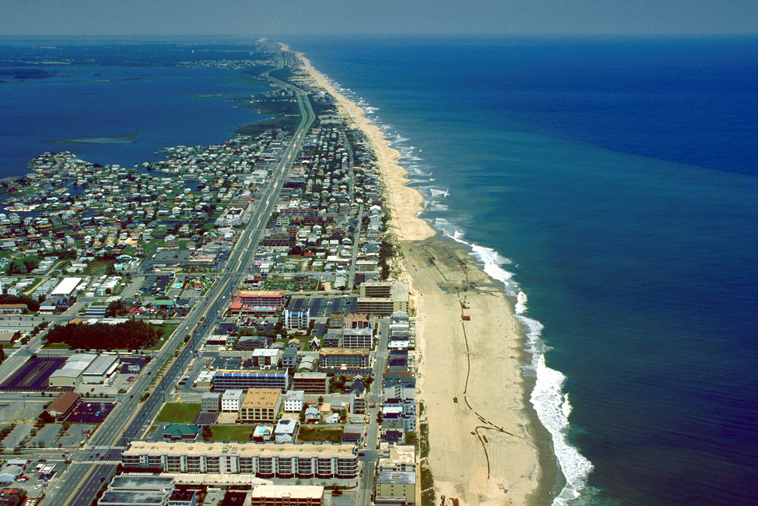
English: Aerial view of Ocean City, Maryland, USA. View is to the north-northeast. |
|||
| తేదీ | ||||
| మూలం |
U.S. Army Corps of Engineers Digital Visual Library Image page Image description page Digital Visual Library home page |
|||
| కర్త | Tex Jobe, U.S. Army Corps of Engineers | |||
| అనుమతి (ఈ దస్త్రాన్ని పునర్వినియోగించుకోవడం) |
|
|||
| Location | Ocean City, Maryland, USA |
| Camera location | | View this and other nearby images on: OpenStreetMap |
|---|
ఫైలు చరితం
తేదీ/సమయం ను నొక్కి ఆ సమయాన ఫైలు ఎలా ఉండేదో చూడవచ్చు.
| తేదీ/సమయం | నఖచిత్రం | కొలతలు | వాడుకరి | వ్యాఖ్య | |
|---|---|---|---|---|---|
| ప్రస్తుత | 01:10, 8 ఏప్రిల్ 2007 | | 1,500 × 1,001 (753 KB) | DanMS | {{Information | Description = {{en|Aerial view of Ocean City, Maryland, USA. View is to the north-northeast.}} | Source = U.S. Army Corps of Engineers Digital Visual Library<br />[http://images.usace.army.mil/images/Hires/0454-12.Jpg Image page |
లింకులు
ఈ ఫైలును వాడుతున్న పేజీలు లేవు.
సార్వత్రిక ఫైలు వాడుక
ఈ దస్త్రాన్ని ఈ క్రింది ఇతర వికీలు ఉపయోగిస్తున్నాయి:
- ar.wikipedia.org లో వాడుక
- bg.wikipedia.org లో వాడుక
- bo.wikipedia.org లో వాడుక
- ca.wikipedia.org లో వాడుక
- de.wikipedia.org లో వాడుక
- en.wikipedia.org లో వాడుక
- es.wikipedia.org లో వాడుక
- fa.wikipedia.org లో వాడుక
- fr.wikipedia.org లో వాడుక
- hak.wikipedia.org లో వాడుక
- hi.wikipedia.org లో వాడుక
- hu.wikipedia.org లో వాడుక
- ilo.wikipedia.org లో వాడుక
- is.wikipedia.org లో వాడుక
- it.wikipedia.org లో వాడుక
- ja.wikipedia.org లో వాడుక
- kn.wikipedia.org లో వాడుక
- pam.wikipedia.org లో వాడుక
- pl.wikipedia.org లో వాడుక
- pt.wikipedia.org లో వాడుక
- tr.wikipedia.org లో వాడుక
- ur.wikipedia.org లో వాడుక
- zh.wikipedia.org లో వాడుక