దస్త్రం:Karakoram location map.png

అసలు దస్త్రం (2,701 × 1,812 పిక్సెళ్ళు, ఫైలు పరిమాణం: 8.57 MB, MIME రకం: image/png)
This is a file from the Wikimedia Commons. Information from its description page there is shown below. Commons is a freely licensed media file repository. You can help. |
సారాంశం
| వివరణ |
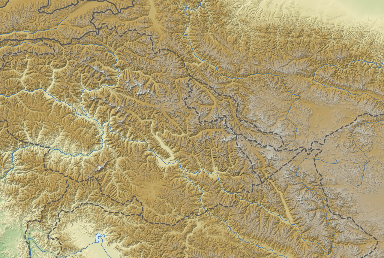
Deutsch: Positionskarte des Karakorum
Quadratische Plattkarte, N-S-Streckung 124 %. Geographische Begrenzung der Karte:
English: Location map of the Karakoram
Equirectangular projection, N/S stretching 124 %. Geographic limits of the map:
|
|
| తేదీ | ||
| మూలం |
స్వంత కృతి, using
|
|
| కర్త | NordNordWest | |
| అనుమతి (ఈ దస్త్రాన్ని పునర్వినియోగించుకోవడం) |
ఈ దస్త్రం క్రియేటివ్ కామన్స్ ఆపాదింపు-యథాతథ పంచుకోలు 3.0 జర్మనీ లైసెన్సు క్రింద లభ్యం.
 |
|
| ఇతర కూర్పులు | Derivative works of this file: Karakoram location map plus.png |


|
This map has been made or improved in the German Kartenwerkstatt (Map Lab). You can propose maps to improve as well.
|
లైసెన్సింగ్
- ఇలా చేసేందుకు మీకు స్వేచ్ఛ ఉంది:
- పంచుకోడానికి – ఈ కృతిని కాపీ చేసుకోవచ్చు, పంపిణీ చేయవచ్చు, ప్రసారమూ చేయవచ్చు
- రీమిక్స్ చేయడానికి – కృతిని అనుకరించడానికి
- క్రింది షరతులకు లోబడి:
- ఆపాదింపు – సముచితమైన శ్రేయస్సును ఇవ్వాలి, లైసెన్సుకు లింకు ఇవ్వాలి, మార్పులేమైనా చేస్తే వాటిని సూచించాలి. అందుకు సముచితమైన పద్ధతి దేన్నైనా అవలంబించవచ్చు. కానీ మీకూ మీ వాడుకకూ హక్కుదారు అనుమతించారు అనే అర్థం వచ్చేటట్లుగా మాత్రం కాదు.
- share alike – మీరు ఈ కృతిని అనుకరిస్తే, మారిస్తే, లేదా మెరుగుపరిస్తే తత్ఫలిత కృతిని ఇదే లైసెన్సు లేదా దీనికి అనుగుణ్యమైన లైసెన్సు క్రింద మాత్రమే పంపిణీ చేయాలి.
ఫైలు చరితం
తేదీ/సమయం ను నొక్కి ఆ సమయాన ఫైలు ఎలా ఉండేదో చూడవచ్చు.
| తేదీ/సమయం | నఖచిత్రం | కొలతలు | వాడుకరి | వ్యాఖ్య | |
|---|---|---|---|---|---|
| ప్రస్తుత | 18:02, 26 నవంబరు 2012 | | 2,701 × 1,812 (8.57 MB) | NordNordWest | == {{int:filedesc}} == {{Information |Description= {{de|Positionskarte des Karakorum}} Quadratische Plattkarte, N-S-Streckung 124 %. Geographische Begrenzung der Karte: * N: 37.4° N * S: 34.1° N * W: 73.0° O * O: 79.1° O {{en... |
లింకులు
కింది పేజీలలో ఈ ఫైలుకు లింకులు ఉన్నాయి:
సార్వత్రిక ఫైలు వాడుక
ఈ దస్త్రాన్ని ఈ క్రింది ఇతర వికీలు ఉపయోగిస్తున్నాయి:
- ar.wikipedia.org లో వాడుక
- ba.wikipedia.org లో వాడుక
- bn.wikipedia.org లో వాడుక
- ceb.wikipedia.org లో వాడుక
- de.wikipedia.org లో వాడుక
- Broad Peak
- Gasherbrum II
- Gasherbrum IV
- Ogre (Berg)
- Muztagh Tower
- Masherbrum
- Distaghil Sar
- Rakaposhi
- Kanjut Sar I
- Gasherbrum III
- Diskussion:Karakorum (Gebirge)
- Chogolisa
- Uli Biaho Tower
- Laila Peak (Masherbrum-Berge)
- Kunyang Chhish
- Baltoro Kangri
- Batura Sar
- Bublimotin
- Skil Brum
- Gasherbrum Ost
- Spantik
- Saltoro Kangri
- Baltoro-Gletscher
- Mitre Peak (Karakorum)
- Gasherbrum V
- Gasherbrum VI
- Gasherbrum VII
- Twins (Berg)
- Broad Peak Central
- Sia Kangri
- Haramosh
- Diran
- Urdok I
- Urdok II
- Urdok III
- Latok I
- Latok II
- Latok III
- Latok IV
- Biale
- Wikipedia:Kartenwerkstatt/Positionskarten/Andere
- Trango Tower
- Shispare
ఈ దస్త్రపు మరింత సార్వత్రిక వాడుకను చూడండి.