దస్త్రం:Cathedral of Saint Sava, Belgrade.jpg
అసలు దస్త్రం (2,753 × 1,843 పిక్సెళ్ళు, ఫైలు పరిమాణం: 1.15 MB, MIME రకం: image/jpeg)
This is a file from the Wikimedia Commons. Information from its description page there is shown below. Commons is a freely licensed media file repository. You can help. |
| వివరణ |
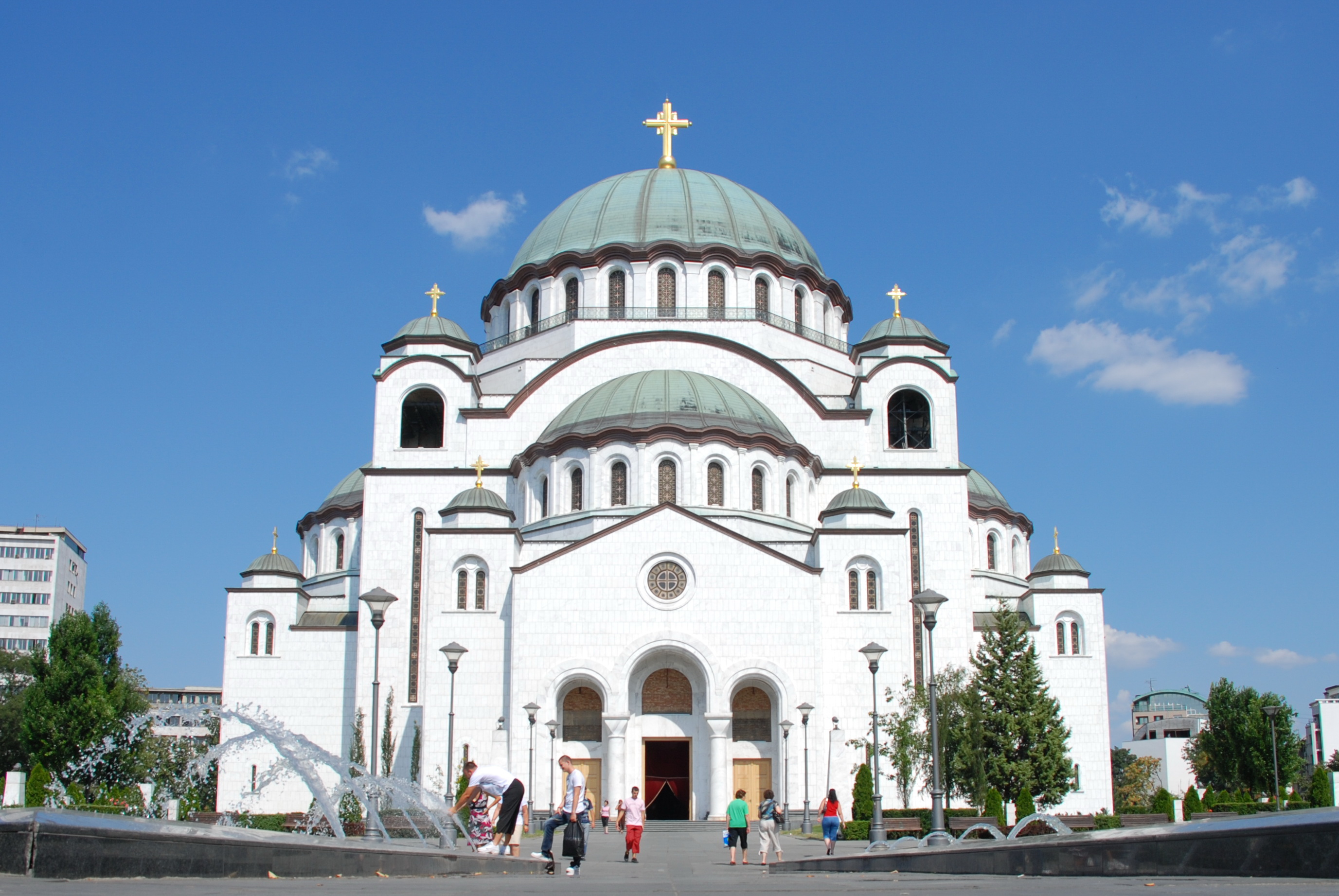
The Cathedral of Saint Sava is an Orthodox church in Belgrade, the capital of Serbia, the largest in the world. The church is dedicated to Saint Sava, founder of the Serbian Orthodox Church and an important figure in medieval Serbia. It is built on the Vracar plateau, on the location where his remains are thought to have been burned in 1595 by the Ottoman Empire's Sinan Pasha. From its location, it dominates Belgrade's cityscape, and is perhaps the most monumental building in the city. The building of the church structure is being financed exclusively by donations. The parish home is nearby, as will be the planned patriarchal building. <a href="http://en.wikipedia.org/wiki/Cathedral_of_Saint_Sava" rel="nofollow">en.wikipedia.org/wiki/Cathedral_of_Saint_Sava</a> <a href="http://www.hramsvetogsave.com" rel="nofollow">www.hramsvetogsave.com</a> <a href="http://en.wikipedia.org/wiki/Saint_Sava" rel="nofollow">en.wikipedia.org/wiki/Saint_Sava</a> |
||
| తేదీ | |||
| మూలం | originally posted to Flickr as Cathedral of Saint Sava, Belgrade | ||
| కర్త | George Groutas | ||
| అనుమతి (ఈ దస్త్రాన్ని పునర్వినియోగించుకోవడం) |
ఈ దస్త్రం క్రియేటివ్ కామన్స్ ఆపాదింపు 2.0 సాధారణ లైసెన్సు క్రింద లభ్యం.
|
| Camera location | | View this and other nearby images on: OpenStreetMap |
|---|
ఫైలు చరితం
తేదీ/సమయం ను నొక్కి ఆ సమయాన ఫైలు ఎలా ఉండేదో చూడవచ్చు.
| తేదీ/సమయం | నఖచిత్రం | కొలతలు | వాడుకరి | వ్యాఖ్య | |
|---|---|---|---|---|---|
| ప్రస్తుత | 05:17, 24 మార్చి 2010 | | 2,753 × 1,843 (1.15 MB) | Flickr upload bot | Uploaded from http://flickr.com/photo/22083482@N03/3770037751 using Flickr upload bot |
లింకులు
కింది పేజీలలో ఈ ఫైలుకు లింకులు ఉన్నాయి:
సార్వత్రిక ఫైలు వాడుక
ఈ దస్త్రాన్ని ఈ క్రింది ఇతర వికీలు ఉపయోగిస్తున్నాయి:
- af.wikipedia.org లో వాడుక
- be.wikipedia.org లో వాడుక
- bg.wikipedia.org లో వాడుక
- ceb.wikipedia.org లో వాడుక
- en.wikipedia.org లో వాడుక
- es.wikipedia.org లో వాడుక
- hr.wikipedia.org లో వాడుక
- hu.wikipedia.org లో వాడుక
- io.wikipedia.org లో వాడుక
- it.wikipedia.org లో వాడుక
- no.wikipedia.org లో వాడుక
- ro.wikipedia.org లో వాడుక
- ru.wikinews.org లో వాడుక
- sh.wikipedia.org లో వాడుక
- sl.wikipedia.org లో వాడుక
- sr.wikipedia.org లో వాడుక
- sv.wikipedia.org లో వాడుక
- uk.wikipedia.org లో వాడుక
- zh.wikipedia.org లో వాడుక