దస్త్రం:India Andhra Pradesh location map (until 2014).svg
Jump to navigation
Jump to search

ఈ ఫైలు SVG కు చెందిన ఈ మునుజూపు PNG పరిమాణం: 643 × 599 పిక్సెళ్ళు. ఇతర రిజల్యూషన్లు: 258 × 240 పిక్సెళ్ళు | 515 × 480 పిక్సెళ్ళు | 824 × 768 పిక్సెళ్ళు | 1,099 × 1,024 పిక్సెళ్ళు | 2,198 × 2,048 పిక్సెళ్ళు | 2,716 × 2,531 పిక్సెళ్ళు.
అసలు దస్త్రం (SVG ఫైలు, నామమాత్రంగా 2,716 × 2,531 పిక్సెళ్ళు, ఫైలు పరిమాణం: 421 KB)
This is a file from the Wikimedia Commons. Information from its description page there is shown below. Commons is a freely licensed media file repository. You can help. |
.svg)
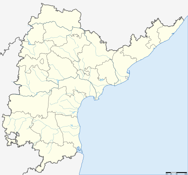
| వివరణ | Location map of Andhra Pradesh. Coordinates: top=19.957, bottom=12.522, left=76.593, right=84.935. |
| తేదీ | (UTC) |
| మూలం | |
| కర్త |
|
.svg)
| This is a retouched picture, which means that it has been digitally altered from its original version. The original can be viewed here: Andhra Pradesh locator map.svg: File:Andhra Pradesh locator map.svg.
|
నేను, ఈ కృతి యొక్క కాపీహక్కుదారుని, దీన్ని ఈ లైసెన్సు క్రింద ఇందుమూలముగా ప్రచురిస్తున్నాను:
ఈ దస్త్రం క్రియేటివ్ కామన్స్ Attribution-Share Alike 3.0 Unported లైసెన్సు క్రింద లభ్యం.
- ఇలా చేసేందుకు మీకు స్వేచ్ఛ ఉంది:
- పంచుకోడానికి – ఈ కృతిని కాపీ చేసుకోవచ్చు, పంపిణీ చేయవచ్చు, ప్రసారమూ చేయవచ్చు
- రీమిక్స్ చేయడానికి – కృతిని అనుకరించడానికి
- క్రింది షరతులకు లోబడి:
- ఆపాదింపు – సముచితమైన శ్రేయస్సును ఇవ్వాలి, లైసెన్సుకు లింకు ఇవ్వాలి, మార్పులేమైనా చేస్తే వాటిని సూచించాలి. అందుకు సముచితమైన పద్ధతి దేన్నైనా అవలంబించవచ్చు. కానీ మీకూ మీ వాడుకకూ హక్కుదారు అనుమతించారు అనే అర్థం వచ్చేటట్లుగా మాత్రం కాదు.
- share alike – మీరు ఈ కృతిని అనుకరిస్తే, మారిస్తే, లేదా మెరుగుపరిస్తే తత్ఫలిత కృతిని ఇదే లైసెన్సు లేదా దీనికి అనుగుణ్యమైన లైసెన్సు క్రింద మాత్రమే పంపిణీ చేయాలి.
అసలు ఎక్కింపుల చిట్టా
This image is a derivative work of the following images:
- File:Andhra Pradesh locator map (1956-2014).svg licensed with Cc-by-sa-3.0
- 2007-05-05T10:40:49Z Planemad 2716x2531 (381105 Bytes) {{WikiProject_India_Maps |Title=Andhra Pradesh locator Map |Description=Map of [[w:Andhra Pradesh]] with road and rail lines |Source= [http://www.etctours.net/gifs/apmap.jpg ETC Tours - Andhra map], [http://www.indianrailways
Uploaded with derivativeFX
ఫైలు చరితం
తేదీ/సమయం ను నొక్కి ఆ సమయాన ఫైలు ఎలా ఉండేదో చూడవచ్చు.
| తేదీ/సమయం | నఖచిత్రం | కొలతలు | వాడుకరి | వ్యాఖ్య | |
|---|---|---|---|---|---|
| ప్రస్తుత | 07:13, 27 మే 2013 | | 2,716 × 2,531 (421 KB) | Milenioscuro | standard colors + rivers |
| 13:09, 14 జూన్ 2012 |  | 2,716 × 2,531 (372 KB) | Arjunaraoc | Reverted to version as of 20:47, 12 August 2011 | |
| 04:02, 11 జూన్ 2012 |  | 2,716 × 2,531 (366 KB) | Arjunaraoc | Removed other state boundaries, as the location map error could be due to this. | |
| 20:47, 12 ఆగస్టు 2011 |  | 2,716 × 2,531 (372 KB) | Abhijitsathe | {{Information |Description=Location map of Andhra Pradesh |Source=*File:Andhra_Pradesh_locator_map.svg |Date=2011-08-12 20:46 (UTC) |Author=*File:Andhra_Pradesh_locator_map.svg: '''Planemad''' *derivative work: ~~~ |Permission= |other_versions |
లింకులు
కింది పేజీలలో ఈ ఫైలుకు లింకులు ఉన్నాయి:
సార్వత్రిక ఫైలు వాడుక
ఈ దస్త్రాన్ని ఈ క్రింది ఇతర వికీలు ఉపయోగిస్తున్నాయి:
- en.wikipedia.org లో వాడుక
- kn.wikipedia.org లో వాడుక
- new.wikipedia.org లో వాడుక
.svg)