దస్త్రం:Map spb 1744 high.jpg
Jump to navigation
Jump to search
ఈ మునుజూపు పరిమాణం: 800 × 552 పిక్సెళ్ళు. ఇతర రిజల్యూషన్లు: 320 × 221 పిక్సెళ్ళు | 640 × 441 పిక్సెళ్ళు | 1,024 × 706 పిక్సెళ్ళు | 1,280 × 883 పిక్సెళ్ళు | 2,100 × 1,448 పిక్సెళ్ళు.
అసలు దస్త్రం (2,100 × 1,448 పిక్సెళ్ళు, ఫైలు పరిమాణం: 741 KB, MIME రకం: image/jpeg)
This is a file from the Wikimedia Commons. Information from its description page there is shown below. Commons is a freely licensed media file repository. You can help. |
సారాంశం
| వివరణ |
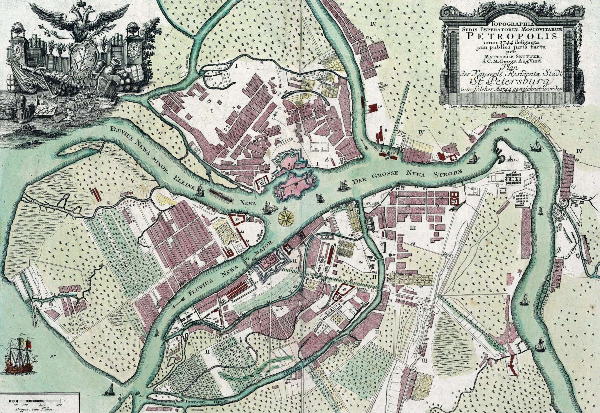
English: Map of St. Petersburg compiled, in 1744, by Matthias Souter Русский: Карта Санкт-Петербурга составленная в 1744 г. Маттиас Сойтер |
| తేదీ | |
| మూలం | http://www.spbin.ru/maps/map_stoyter_1744.htm |
| కర్త | Маттиас Сойтер |
లైసెన్సింగ్
|
This work is in the public domain in its country of origin and other countries and areas where the copyright term is the author's life plus 100 years or fewer. | |
| This file has been identified as being free of known restrictions under copyright law, including all related and neighboring rights. | |
ఫైలు చరితం
తేదీ/సమయం ను నొక్కి ఆ సమయాన ఫైలు ఎలా ఉండేదో చూడవచ్చు.
| తేదీ/సమయం | నఖచిత్రం | కొలతలు | వాడుకరి | వ్యాఖ్య | |
|---|---|---|---|---|---|
| ప్రస్తుత | 07:47, 25 మే 2010 | | 2,100 × 1,448 (741 KB) | Peterburg23 | == Summary == {{Information |Description=Карта Санкт-Петербурга составленная в 1744 г. Маттиас Сойтер |Source=http://www.spbin.ru/maps/map_stoyter_1744.htm |Date=1744 |Author=Маттиас Сойтер |Perm |
లింకులు
కింది పేజీలలో ఈ ఫైలుకు లింకులు ఉన్నాయి:
సార్వత్రిక ఫైలు వాడుక
ఈ దస్త్రాన్ని ఈ క్రింది ఇతర వికీలు ఉపయోగిస్తున్నాయి:
- azb.wikipedia.org లో వాడుక
- en.wikipedia.org లో వాడుక
- gl.wikipedia.org లో వాడుక
- id.wikipedia.org లో వాడుక
- io.wikipedia.org లో వాడుక
- mt.wikipedia.org లో వాడుక
- pl.wikipedia.org లో వాడుక
- sl.wikipedia.org లో వాడుక
- ta.wikipedia.org లో వాడుక
- zh.wikipedia.org లో వాడుక