దస్త్రం:Panoramic view at Mallelatheertham.jpg
Jump to navigation
Jump to search

ఈ మునుజూపు పరిమాణం: 800 × 237 పిక్సెళ్ళు. ఇతర రిజల్యూషన్లు: 320 × 95 పిక్సెళ్ళు | 640 × 189 పిక్సెళ్ళు | 1,920 × 568 పిక్సెళ్ళు.
అసలు దస్త్రం (1,920 × 568 పిక్సెళ్ళు, ఫైలు పరిమాణం: 220 KB, MIME రకం: image/jpeg)
This is a file from the Wikimedia Commons. Information from its description page there is shown below. Commons is a freely licensed media file repository. You can help. |
సారాంశం
| వివరణ |
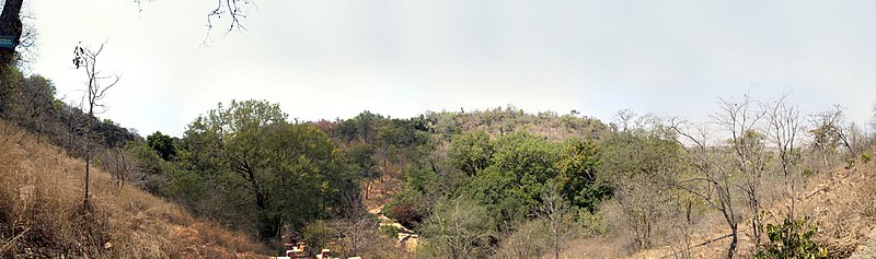
English: Panoramic view at Mallelatheertham near Srisailam, Nallamala Hills, Andhra Pradesh |
| తేదీ | |
| మూలం | https://www.flickr.com/photos/syshook/8572783814/sizes/o/in/photostream/ |
| కర్త | Rajib Ghosh |
| Camera location | | View this and other nearby images on: OpenStreetMap |
|---|
లైసెన్సింగ్
| This image was originally posted to Flickr by Rajib Ghosh at https://www.flickr.com/photos/10261095@N06/8572783814. It was reviewed on 24 జూన్ 2013 by FlickreviewR and was confirmed to be licensed under the terms of the cc-by-2.0. |
ఈ దస్త్రం క్రియేటివ్ కామన్స్ ఆపాదింపు 2.0 సాధారణ లైసెన్సు క్రింద లభ్యం.
- ఇలా చేసేందుకు మీకు స్వేచ్ఛ ఉంది:
- పంచుకోడానికి – ఈ కృతిని కాపీ చేసుకోవచ్చు, పంపిణీ చేయవచ్చు, ప్రసారమూ చేయవచ్చు
- రీమిక్స్ చేయడానికి – కృతిని అనుకరించడానికి
- క్రింది షరతులకు లోబడి:
- ఆపాదింపు – సముచితమైన శ్రేయస్సును ఇవ్వాలి, లైసెన్సుకు లింకు ఇవ్వాలి, మార్పులేమైనా చేస్తే వాటిని సూచించాలి. అందుకు సముచితమైన పద్ధతి దేన్నైనా అవలంబించవచ్చు. కానీ మీకూ మీ వాడుకకూ హక్కుదారు అనుమతించారు అనే అర్థం వచ్చేటట్లుగా మాత్రం కాదు.
ఫైలు చరితం
తేదీ/సమయం ను నొక్కి ఆ సమయాన ఫైలు ఎలా ఉండేదో చూడవచ్చు.
| తేదీ/సమయం | నఖచిత్రం | కొలతలు | వాడుకరి | వ్యాఖ్య | |
|---|---|---|---|---|---|
| ప్రస్తుత | 11:36, 24 జూన్ 2013 | 1,920 × 568 (220 KB) | Adityamadhav83 | User created page with UploadWizard |
లింకులు
కింది పేజీలలో ఈ ఫైలుకు లింకులు ఉన్నాయి: