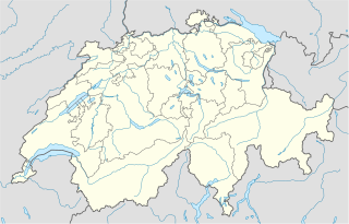
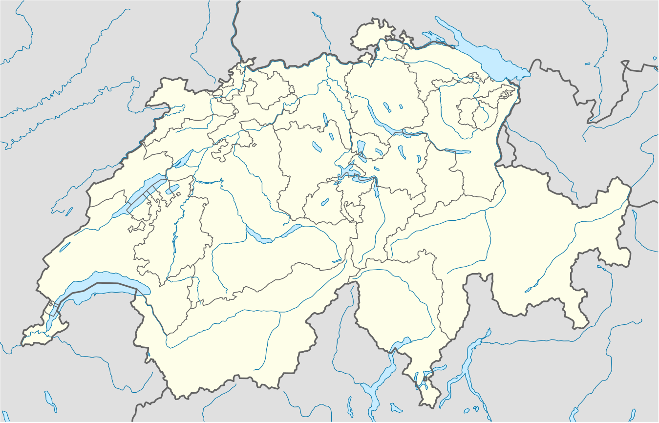
దస్త్రం:Switzerland location map.svg
Jump to navigation
Jump to search

ఈ ఫైలు SVG కు చెందిన ఈ మునుజూపు PNG పరిమాణం: 800 × 513 పిక్సెళ్ళు. ఇతర రిజల్యూషన్లు: 320 × 205 పిక్సెళ్ళు | 640 × 410 పిక్సెళ్ళు | 1,024 × 657 పిక్సెళ్ళు | 1,280 × 821 పిక్సెళ్ళు | 2,560 × 1,642 పిక్సెళ్ళు | 1,349 × 865 పిక్సెళ్ళు.
అసలు దస్త్రం (SVG ఫైలు, నామమాత్రంగా 1,349 × 865 పిక్సెళ్ళు, ఫైలు పరిమాణం: 258 KB)
This is a file from the Wikimedia Commons. Information from its description page there is shown below. Commons is a freely licensed media file repository. You can help. |
సారాంశం
| వివరణ |
Deutsch: Positionskarte der Schweiz
Quadratische Plattkarte, N-S-Streckung 146,138 %. Geographische Begrenzung der Karte:
English: Location map of Switzerland
Equirectangular projection, N/S stretching 146,138 %. Geographic limits of the map:
|
| తేదీ | |
| మూలం |
స్వంత కృతి, using
|
| కర్త | NordNordWest |
| ఇతర కూర్పులు |
Derivative works of this file: Location of Battle of Winterthur 1799.svg
|
| SVG పెరుగుదల | This map was created with unknown tool. | style="margin:0.5em;" | This map has been made or improved in the German Kartenwerkstatt (Map Lab). You can propose maps to improve as well.
|} |
_location_map.svg)


లైసెన్సింగ్
నేను, ఈ కృతి యొక్క కాపీహక్కుదారుని, దీన్ని ఈ లైసెన్సు క్రింద ఇందుమూలముగా ప్రచురిస్తున్నాను:
ఈ దస్త్రం క్రియేటివ్ కామన్స్ Attribution-Share Alike 3.0 Unported లైసెన్సు క్రింద లభ్యం.
- ఇలా చేసేందుకు మీకు స్వేచ్ఛ ఉంది:
- పంచుకోడానికి – ఈ కృతిని కాపీ చేసుకోవచ్చు, పంపిణీ చేయవచ్చు, ప్రసారమూ చేయవచ్చు
- రీమిక్స్ చేయడానికి – కృతిని అనుకరించడానికి
- క్రింది షరతులకు లోబడి:
- ఆపాదింపు – సముచితమైన శ్రేయస్సును ఇవ్వాలి, లైసెన్సుకు లింకు ఇవ్వాలి, మార్పులేమైనా చేస్తే వాటిని సూచించాలి. అందుకు సముచితమైన పద్ధతి దేన్నైనా అవలంబించవచ్చు. కానీ మీకూ మీ వాడుకకూ హక్కుదారు అనుమతించారు అనే అర్థం వచ్చేటట్లుగా మాత్రం కాదు.
- share alike – మీరు ఈ కృతిని అనుకరిస్తే, మారిస్తే, లేదా మెరుగుపరిస్తే తత్ఫలిత కృతిని ఇదే లైసెన్సు లేదా దీనికి అనుగుణ్యమైన లైసెన్సు క్రింద మాత్రమే పంపిణీ చేయాలి.
Gallery
-
 relief
 -
 default
 -
 image1
 -
 image2
 -
 relief1
 -
 relief2
 -
 relief3


ఫైలు చరితం
తేదీ/సమయం ను నొక్కి ఆ సమయాన ఫైలు ఎలా ఉండేదో చూడవచ్చు.
| తేదీ/సమయం | నఖచిత్రం | కొలతలు | వాడుకరి | వ్యాఖ్య | |
|---|---|---|---|---|---|
| ప్రస్తుత | 22:50, 17 డిసెంబరు 2017 | | 1,349 × 865 (258 KB) | Reinhard Kraasch | Verlauf des Doubs korrigiert |
| 09:51, 4 డిసెంబరు 2009 |  | 1,349 × 865 (260 KB) | NordNordWest | c | |
| 08:27, 12 ఆగస్టు 2009 |  | 1,349 × 888 (255 KB) | NordNordWest | no improvement, no changes without discussion about it | |
| 08:07, 12 ఆగస్టు 2009 |  | 1,349 × 888 (260 KB) | Lukasb1992 | borders of cantons | |
| 17:03, 16 జూన్ 2009 |  | 1,349 × 888 (255 KB) | NordNordWest | {{Information |Description= {{de|Positionskarte der Schweiz}} Quadratische Plattkarte, N-S-Streckung 150 %. Geographische Begrenzung der Karte: * N: 47.9° N * S: 45.75° N * W: 5.8° O * O: 10.7° O {{en|Location map of [[:en:Switzerland| |
లింకులు
కింది పేజీలలో ఈ ఫైలుకు లింకులు ఉన్నాయి:
సార్వత్రిక ఫైలు వాడుక
ఈ దస్త్రాన్ని ఈ క్రింది ఇతర వికీలు ఉపయోగిస్తున్నాయి:
- af.wikipedia.org లో వాడుక
- am.wikipedia.org లో వాడుక
- ar.wikipedia.org లో వాడుక
- arz.wikipedia.org లో వాడుక
- av.wikipedia.org లో వాడుక
- az.wikipedia.org లో వాడుక
- Cenevrə
- Sankt-Morits
- Şablon:Yer xəritəsi İsveçrə
- Sürix
- Qruyer
- Lozanna
- Sitqlogge
- Müqəddəs Ruh kilsəsi (Bern)
- İsveçrə Federal sarayı
- Bil
- Nyon
- Çuq (kanton)
- Bergün
- Bazel
- La-Şo-de-Fon
- Lütsern
- Fluntern qəbiristanlığı
- Davos
- Qraubünden
- Arqau
- Bua-de-Vo qəbiristanlığı
- Vo (kanton)
- Vil (Sankt-Qallen)
- Sankt-Qallen (kanton)
- Lauterbrunnen
- Vintertur
- Sankt-Qallen
ఈ దస్త్రపు మరింత సార్వత్రిక వాడుకను చూడండి.