దస్త్రం:Amer Fort dusk panorama.jpg
Jump to navigation
Jump to search
ఈ మునుజూపు పరిమాణం: 799 × 197 పిక్సెళ్ళు. ఇతర రిజల్యూషన్లు: 320 × 79 పిక్సెళ్ళు | 640 × 158 పిక్సెళ్ళు | 1,024 × 253 పిక్సెళ్ళు | 3,881 × 957 పిక్సెళ్ళు.
అసలు దస్త్రం (3,881 × 957 పిక్సెళ్ళు, ఫైలు పరిమాణం: 337 KB, MIME రకం: image/jpeg)
This is a file from the Wikimedia Commons. Information from its description page there is shown below. Commons is a freely licensed media file repository. You can help. |
సారాంశం
| వివరణ | |||
| తేదీ | 20 Jan 08 | ||
| మూలం | స్వంత కృతి | ||
| కర్త |
|
||
| అనుమతి (ఈ దస్త్రాన్ని పునర్వినియోగించుకోవడం) |
Own Work. See below for license. |
లైసెన్సింగ్
నేను, ఈ కృతి యొక్క కాపీహక్కుదారుని, దీన్ని ఈ లైసెన్సు క్రింద ఇందుమూలముగా ప్రచురిస్తున్నాను:
ఈ దస్త్రం క్రియేటివ్ కామన్స్ Attribution-Share Alike 3.0 Unported లైసెన్సు క్రింద లభ్యం.
- ఇలా చేసేందుకు మీకు స్వేచ్ఛ ఉంది:
- పంచుకోడానికి – ఈ కృతిని కాపీ చేసుకోవచ్చు, పంపిణీ చేయవచ్చు, ప్రసారమూ చేయవచ్చు
- రీమిక్స్ చేయడానికి – కృతిని అనుకరించడానికి
- క్రింది షరతులకు లోబడి:
- ఆపాదింపు – సముచితమైన శ్రేయస్సును ఇవ్వాలి, లైసెన్సుకు లింకు ఇవ్వాలి, మార్పులేమైనా చేస్తే వాటిని సూచించాలి. అందుకు సముచితమైన పద్ధతి దేన్నైనా అవలంబించవచ్చు. కానీ మీకూ మీ వాడుకకూ హక్కుదారు అనుమతించారు అనే అర్థం వచ్చేటట్లుగా మాత్రం కాదు.
- share alike – మీరు ఈ కృతిని అనుకరిస్తే, మారిస్తే, లేదా మెరుగుపరిస్తే తత్ఫలిత కృతిని ఇదే లైసెన్సు లేదా దీనికి అనుగుణ్యమైన లైసెన్సు క్రింద మాత్రమే పంపిణీ చేయాలి.
| Camera location | | View this and other nearby images on: OpenStreetMap |
|---|
ఫైలు చరితం
తేదీ/సమయం ను నొక్కి ఆ సమయాన ఫైలు ఎలా ఉండేదో చూడవచ్చు.
| తేదీ/సమయం | నఖచిత్రం | కొలతలు | వాడుకరి | వ్యాఖ్య | |
|---|---|---|---|---|---|
| ప్రస్తుత | 15:45, 29 ఏప్రిల్ 2012 | 3,881 × 957 (337 KB) | Anitallende | {{Information |Description= mejora exposición |Source= |Date=18:23 1 ene 2009 |Author= |Permission=Este archivo se encuentra bajo la licencia Creative Commons Genérica de Atribución/Compartir-Igual 3.0. |other_versions= }} | |
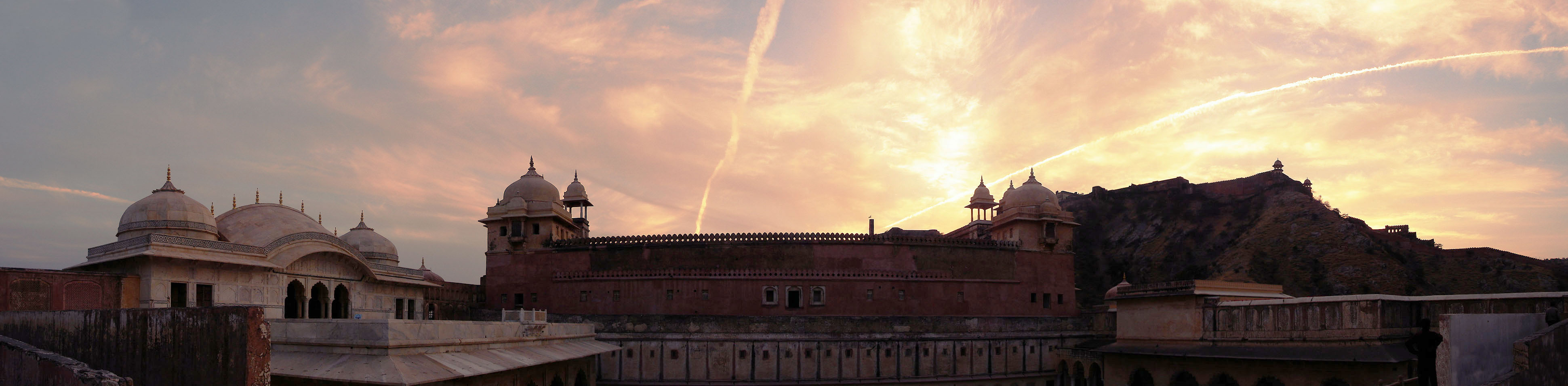
| 18:23, 1 జనవరి 2009 | 3,881 × 957 (334 KB) | Planemad | == Summary == {{Information |Description={{en|1=A panoramic view of en:Amer Fort, en:Jaipur during sunset}} |Source=Own work by uploader |Author={{User:PlaneMad/Info}} |Date=20 Jan 08 |Permission=Own Work. See below for license. |other_versions= |
లింకులు
ఈ ఫైలును వాడుతున్న పేజీలు లేవు.
సార్వత్రిక ఫైలు వాడుక
ఈ దస్త్రాన్ని ఈ క్రింది ఇతర వికీలు ఉపయోగిస్తున్నాయి:
- gu.wikipedia.org లో వాడుక
- hi.wikipedia.org లో వాడుక
- ja.wikipedia.org లో వాడుక
- kn.wikipedia.org లో వాడుక
- mai.wikipedia.org లో వాడుక
- nl.wikipedia.org లో వాడుక
- pa.wikipedia.org లో వాడుక
- pnb.wikipedia.org లో వాడుక