దస్త్రం:Antarctica blank.svg
Jump to navigation
Jump to search

ఈ ఫైలు SVG కు చెందిన ఈ మునుజూపు PNG పరిమాణం: 600 × 600 పిక్సెళ్ళు. ఇతర రిజల్యూషన్లు: 240 × 240 పిక్సెళ్ళు | 480 × 480 పిక్సెళ్ళు | 768 × 768 పిక్సెళ్ళు | 1,024 × 1,024 పిక్సెళ్ళు | 2,048 × 2,048 పిక్సెళ్ళు | 804 × 804 పిక్సెళ్ళు.
అసలు దస్త్రం (SVG ఫైలు, నామమాత్రంగా 804 × 804 పిక్సెళ్ళు, ఫైలు పరిమాణం: 39 KB)
This is a file from the Wikimedia Commons. Information from its description page there is shown below. Commons is a freely licensed media file repository. You can help. |
సారాంశం
This W3C-unspecified vector image was created with Inkscape .
| వివరణ |
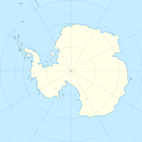
English: Blank map of Antarctica.
Français : Carte nue de l'Antarctique. La latitude au centre de chaque bord est -60. Donc le pôle est centré. |
| తేదీ | |
| మూలం | Image:Antarctica_research_station.gif + Image:Blank suedpolarregion.png |
| కర్త | STyx |
| ఇతర కూర్పులు | Map with territorial claims marked out, Antarctica blank 2.svg |
లైసెన్సింగ్
నేను, ఈ కృతి యొక్క కాపీహక్కుదారుని, దీన్ని ఇందుమూలముగా ఈ లైసెన్సుల క్రింద ప్రచురిస్తున్నాను:

|
ఈ కృతి యొక్క కర్తనైన నేను, ఇక నుండీ ఈ కృతిని కాపీ చేసుకోవడానికి, పంచి పెట్టడానికి మరియు/లేదా మార్పులు-చేర్పులు చేసుకోవడానికి GFDL, లైసెన్సు వెర్షను 1.2 లేదా దాని తరువాత స్వేచ్చా సాఫ్టువేరు ఫౌండేషను విడుదలచేసే ఏ GFDL లైసెన్సు ద్వారా నయినా అనుమతి ఇస్తున్నాను; ఈ కృతిలో మార్చకూడని బాగాలు లేవు, Front-Cover పాఠం లేదు, Back-Cover పాఠం లేదు. ఈ లైసెన్సు యొక్క పత్రం నకలును "జిఎన్యూ ఉచిత డాక్యుమెంటేషను లైసెన్సు" అని పిలుస్తున్న విభాగంలో ఉంది. |
ఈ ఫైలు అనుమతి సాధారణ సృజనాత్మకము అపాదింపు ౩.౦ ఆన్-పోర్టెడ్ యందు అనుమతించబడినది.
- ఇలా చేసేందుకు మీకు స్వేచ్ఛ ఉంది:
- పంచుకోడానికి – ఈ కృతిని కాపీ చేసుకోవచ్చు, పంపిణీ చేయవచ్చు, ప్రసారమూ చేయవచ్చు
- రీమిక్స్ చేయడానికి – కృతిని అనుకరించడానికి
- క్రింది షరతులకు లోబడి:
- ఆపాదింపు – సముచితమైన శ్రేయస్సును ఇవ్వాలి, లైసెన్సుకు లింకు ఇవ్వాలి, మార్పులేమైనా చేస్తే వాటిని సూచించాలి. అందుకు సముచితమైన పద్ధతి దేన్నైనా అవలంబించవచ్చు. కానీ మీకూ మీ వాడుకకూ హక్కుదారు అనుమతించారు అనే అర్థం వచ్చేటట్లుగా మాత్రం కాదు.
పైవాటిలో మీకు నచ్చిన లైసెన్సునును ఎంచుకోవచ్చు.
ఫైలు చరితం
తేదీ/సమయం ను నొక్కి ఆ సమయాన ఫైలు ఎలా ఉండేదో చూడవచ్చు.
| తేదీ/సమయం | నఖచిత్రం | కొలతలు | వాడుకరి | వ్యాఖ్య | |
|---|---|---|---|---|---|
| ప్రస్తుత | 11:45, 21 డిసెంబరు 2009 | | 804 × 804 (39 KB) | Botev | Reverted to version as of 07:30, 14 October 2009 - we are using this image as a location map on pl wiki, don't simply change it like that. Upload a new image if you want. |
| 15:59, 17 డిసెంబరు 2009 |  | 1,139 × 1,262 (43 KB) | NuclearVacuum | minor | |
| 15:57, 17 డిసెంబరు 2009 |  | 1,139 × 1,262 (43 KB) | NuclearVacuum | made image larger to show the rest of the image | |
| 07:30, 14 అక్టోబరు 2009 |  | 804 × 804 (39 KB) | Entlinkt | Just slightly changed colours to those given at File:Maps_template-fr.svg | |
| 01:43, 11 మార్చి 2008 |  | 804 × 804 (39 KB) | STyx | ||
| 00:43, 11 మార్చి 2008 |  | 804 × 804 (30 KB) | STyx | == Summary == {{Created with Inkscape}} {{Information |Description= *{{en}} Blank map of Antarctica. *{{fr}} Carte nue de l'Antarctique. La latitude au centre de chaque bord est -60. Donc le pôle est centré. |Source=[[:Image:Antarctica_research_station. |
లింకులు
ఈ ఫైలును వాడుతున్న పేజీలు లేవు.
సార్వత్రిక ఫైలు వాడుక
ఈ దస్త్రాన్ని ఈ క్రింది ఇతర వికీలు ఉపయోగిస్తున్నాయి:
- de.wikipedia.org లో వాడుక
- en.wikipedia.org లో వాడుక
- es.wikipedia.org లో వాడుక
- fr.wikipedia.org లో వాడుక
- hy.wikipedia.org లో వాడుక
- zh.wikipedia.org లో వాడుక