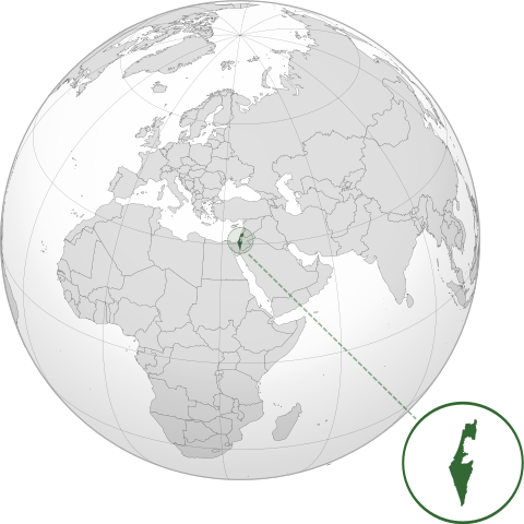
దస్త్రం:ISR orthographic.svg
Jump to navigation
Jump to search

ఈ ఫైలు SVG కు చెందిన ఈ మునుజూపు PNG పరిమాణం: 600 × 600 పిక్సెళ్ళు. ఇతర రిజల్యూషన్లు: 240 × 240 పిక్సెళ్ళు | 480 × 480 పిక్సెళ్ళు | 768 × 768 పిక్సెళ్ళు | 1,024 × 1,024 పిక్సెళ్ళు | 2,048 × 2,048 పిక్సెళ్ళు.
అసలు దస్త్రం (SVG ఫైలు, నామమాత్రంగా 600 × 600 పిక్సెళ్ళు, ఫైలు పరిమాణం: 1.39 MB)
This is a file from the Wikimedia Commons. Information from its description page there is shown below. Commons is a freely licensed media file repository. You can help. |
సారాంశం
| వివరణ | |
| తేదీ | |
| మూలం |
స్వంత కృతి with Natural Earth Data This W3C-unspecified vector image was created with Inkscape . |
| కర్త | Addicted04 |
లైసెన్సింగ్
నేను, ఈ కృతి యొక్క కాపీహక్కుదారుని, దీన్ని ఈ లైసెన్సు క్రింద ఇందుమూలముగా ప్రచురిస్తున్నాను:
ఈ దస్త్రం క్రియేటివ్ కామన్స్ Attribution-Share Alike 3.0 Unported లైసెన్సు క్రింద లభ్యం.
- ఇలా చేసేందుకు మీకు స్వేచ్ఛ ఉంది:
- పంచుకోడానికి – ఈ కృతిని కాపీ చేసుకోవచ్చు, పంపిణీ చేయవచ్చు, ప్రసారమూ చేయవచ్చు
- రీమిక్స్ చేయడానికి – కృతిని అనుకరించడానికి
- క్రింది షరతులకు లోబడి:
- ఆపాదింపు – సముచితమైన శ్రేయస్సును ఇవ్వాలి, లైసెన్సుకు లింకు ఇవ్వాలి, మార్పులేమైనా చేస్తే వాటిని సూచించాలి. అందుకు సముచితమైన పద్ధతి దేన్నైనా అవలంబించవచ్చు. కానీ మీకూ మీ వాడుకకూ హక్కుదారు అనుమతించారు అనే అర్థం వచ్చేటట్లుగా మాత్రం కాదు.
- share alike – మీరు ఈ కృతిని అనుకరిస్తే, మారిస్తే, లేదా మెరుగుపరిస్తే తత్ఫలిత కృతిని ఇదే లైసెన్సు లేదా దీనికి అనుగుణ్యమైన లైసెన్సు క్రింద మాత్రమే పంపిణీ చేయాలి.
ఫైలు చరితం
తేదీ/సమయం ను నొక్కి ఆ సమయాన ఫైలు ఎలా ఉండేదో చూడవచ్చు.
| తేదీ/సమయం | నఖచిత్రం | కొలతలు | వాడుకరి | వ్యాఖ్య | |
|---|---|---|---|---|---|
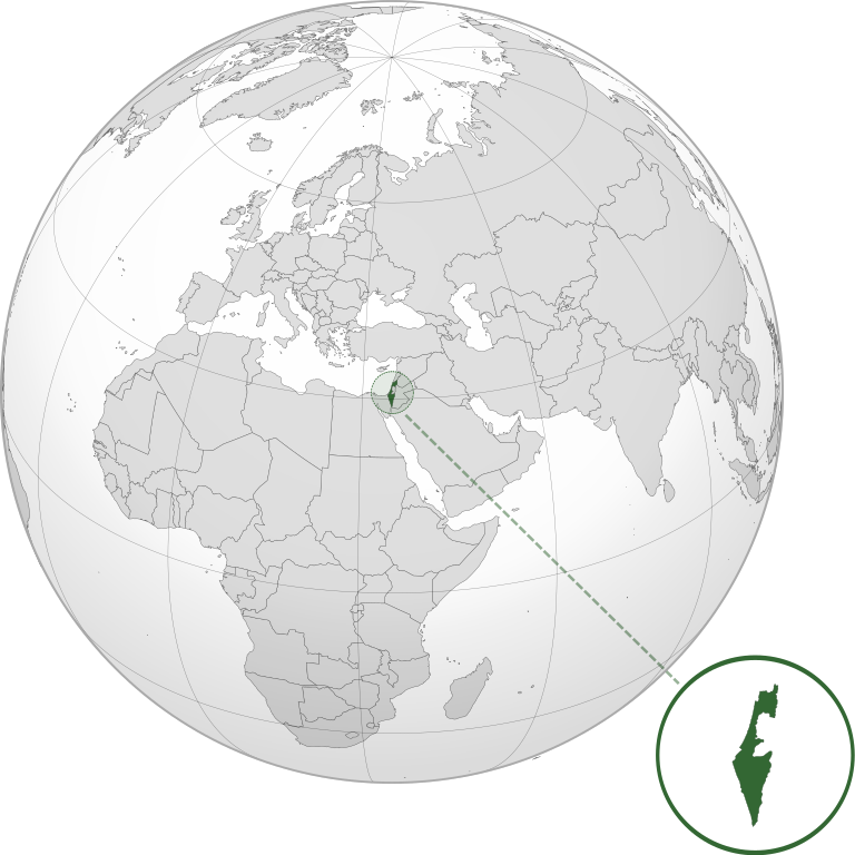
| ప్రస్తుత | 03:46, 17 మార్చి 2022 | | 600 × 600 (1.39 MB) | Chaddy | Reverted to version as of 06:27, 24 March 2019 (UTC), there is already another map for the disputed borders: File:Israel (orthographic projection) with disputed territories.svg |
| 09:48, 10 మార్చి 2022 |  | 600 × 600 (1.4 MB) | Beshogur | Reverted to version as of 06:25, 24 March 2019 (UTC) | |
| 06:27, 24 మార్చి 2019 |  | 600 × 600 (1.39 MB) | BlueHypercane761 | Reverted to version as of 22:09, 21 September 2016 (UTC) Self-revert. As legitimate as this revision is, I will split it off into a new image file. | |
| 06:25, 24 మార్చి 2019 |  | 600 × 600 (1.4 MB) | BlueHypercane761 | Restoring previous revision temporarily to retrieve image. | |
| 22:09, 21 సెప్టెంబరు 2016 |  | 600 × 600 (1.39 MB) | Nableezy | make a new map, this one is fine | |
| 18:50, 16 సెప్టెంబరు 2016 |  | 600 × 600 (1.4 MB) | Bolter21 | added disputed territories | |
| 03:06, 8 జూలై 2012 |  | 600 × 600 (1.39 MB) | Addicted04 | America land | |
| 02:42, 8 జూలై 2012 |  | 600 × 600 (1.39 MB) | Addicted04 |
_with_disputed_territories.svg)
లింకులు
ఈ ఫైలును వాడుతున్న పేజీలు లేవు.
సార్వత్రిక ఫైలు వాడుక
ఈ దస్త్రాన్ని ఈ క్రింది ఇతర వికీలు ఉపయోగిస్తున్నాయి:
- af.wikipedia.org లో వాడుక
- am.wikipedia.org లో వాడుక
- arc.wikipedia.org లో వాడుక
- av.wikipedia.org లో వాడుక
- ay.wikipedia.org లో వాడుక
- azb.wikipedia.org లో వాడుక
- az.wiktionary.org లో వాడుక
- ban.wikipedia.org లో వాడుక
- bbc.wikipedia.org లో వాడుక
- bcl.wikipedia.org లో వాడుక
- bg.wikipedia.org లో వాడుక
- bh.wikipedia.org లో వాడుక
- bi.wikipedia.org లో వాడుక
- bn.wikipedia.org లో వాడుక
- bs.wikipedia.org లో వాడుక
- bxr.wikipedia.org లో వాడుక
- cdo.wikipedia.org లో వాడుక
- ceb.wikipedia.org లో వాడుక
- chr.wikipedia.org లో వాడుక
- ckb.wikipedia.org లో వాడుక
- cs.wikipedia.org లో వాడుక
- da.wikipedia.org లో వాడుక
- dty.wikipedia.org లో వాడుక
- en.wikipedia.org లో వాడుక
- en.wikibooks.org లో వాడుక
- es.wikipedia.org లో వాడుక
- eu.wikipedia.org లో వాడుక
- fi.wikipedia.org లో వాడుక
- fr.wikipedia.org లో వాడుక
- gn.wikipedia.org లో వాడుక
- gu.wikipedia.org లో వాడుక
- gv.wikipedia.org లో వాడుక
- hak.wikipedia.org లో వాడుక
- hr.wikipedia.org లో వాడుక
- hy.wikipedia.org లో వాడుక
- id.wikipedia.org లో వాడుక
- ie.wikipedia.org లో వాడుక
- incubator.wikimedia.org లో వాడుక
ఈ దస్త్రపు మరింత సార్వత్రిక వాడుకను చూడండి.