దస్త్రం:India satellite image.png
Jump to navigation
Jump to search

ఈ మునుజూపు పరిమాణం: 800 × 592 పిక్సెళ్ళు. ఇతర రిజల్యూషన్లు: 320 × 237 పిక్సెళ్ళు | 640 × 474 పిక్సెళ్ళు | 1,024 × 758 పిక్సెళ్ళు | 1,278 × 946 పిక్సెళ్ళు.
అసలు దస్త్రం (1,278 × 946 పిక్సెళ్ళు, ఫైలు పరిమాణం: 1.51 MB, MIME రకం: image/png)
This is a file from the Wikimedia Commons. Information from its description page there is shown below. Commons is a freely licensed media file repository. You can help. |
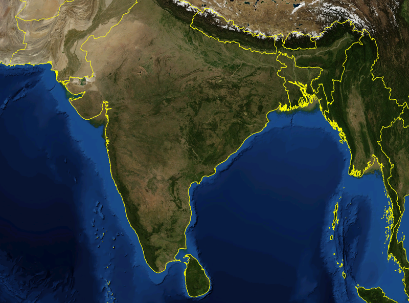
| వివరణ | Satellite image of India and surrounding regions | |||
| తేదీ | ||||
| మూలం | స్వంత కృతి | |||
| కర్త | Mgiganteus | |||
| అనుమతి (ఈ దస్త్రాన్ని పునర్వినియోగించుకోవడం) |
|

| Annotations | This image is annotated: View the annotations at Commons |
ఫైలు చరితం
తేదీ/సమయం ను నొక్కి ఆ సమయాన ఫైలు ఎలా ఉండేదో చూడవచ్చు.
| తేదీ/సమయం | నఖచిత్రం | కొలతలు | వాడుకరి | వ్యాఖ్య | |
|---|---|---|---|---|---|
| ప్రస్తుత | 14:21, 28 నవంబరు 2007 | | 1,278 × 946 (1.51 MB) | Mgiganteus | {{Information |Description=Satellite image of India and surrounding regions |Source=self-made |Date=2007 |Author= Mgiganteus |Permission={{PD-WorldWind}} |other_versions= }} Category:Maps of India Category:South Asia [[Categor |
లింకులు
కింది పేజీలలో ఈ ఫైలుకు లింకులు ఉన్నాయి:
సార్వత్రిక ఫైలు వాడుక
ఈ దస్త్రాన్ని ఈ క్రింది ఇతర వికీలు ఉపయోగిస్తున్నాయి:
- af.wikipedia.org లో వాడుక
- ar.wikipedia.org లో వాడుక
- ast.wikipedia.org లో వాడుక
- ba.wikipedia.org లో వాడుక
- be-tarask.wikipedia.org లో వాడుక
- ca.wikipedia.org లో వాడుక
- cy.wikipedia.org లో వాడుక
- diq.wikipedia.org లో వాడుక
- en.wikipedia.org లో వాడుక
- 1932 in India
- 1822 in India
- 1934 in India
- 1937 in India
- 1870 in India
- 1946 in India
- 1911 in India
- 1939 in India
- 1945 in India
- 1943 in India
- 1931 in India
- 1941 in India
- 1857 in India
- 1906 in India
- 1944 in India
- 1930 in India
- 1889 in India
- 1942 in India
- 1874 in India
- 1922 in India
- 1936 in India
- 1905 in India
- 1940 in India
- 1935 in India
- 1921 in India
- 1885 in India
- 1869 in India
- 1875 in India
- 1938 in India
- 1853 in India
- 1818 in India
- 1877 in India
- 1919 in India
- 1861 in India
- 1923 in India
- 1924 in India
- 1925 in India
- 1907 in India
- User talk:Attenboroughii
- 1876 in India
- 1917 in India
- 1914 in India
ఈ దస్త్రపు మరింత సార్వత్రిక వాడుకను చూడండి.