దస్త్రం:Lake Athabasca, Canada.jpg
Jump to navigation
Jump to search

ఈ మునుజూపు పరిమాణం: 800 × 338 పిక్సెళ్ళు. ఇతర రిజల్యూషన్లు: 320 × 135 పిక్సెళ్ళు | 640 × 270 పిక్సెళ్ళు | 1,156 × 488 పిక్సెళ్ళు.
అసలు దస్త్రం (1,156 × 488 పిక్సెళ్ళు, ఫైలు పరిమాణం: 173 KB, MIME రకం: image/jpeg)
This is a file from the Wikimedia Commons. Information from its description page there is shown below. Commons is a freely licensed media file repository. You can help. |
సారాంశం
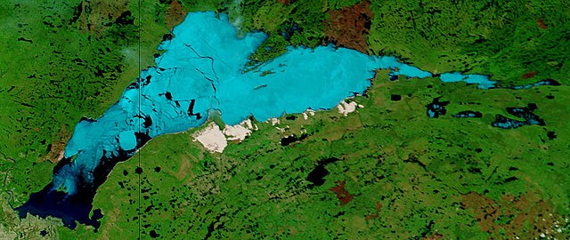
| వివరణ | Lake Athabasca, Canada. Lake Athabasca straddles the border between Alberta (west) and Saskatchewan (east) - the black line. In the false-color image, vegetation is green, water is dark blue, and ice (or snow) is light blue. |
| తేదీ | Visualization Date: 2002-06-18 |
| మూలం | Visible Earth, NASA (extract) |
| కర్త | Jacques Descloitres, MODIS Land Rapid Response Team, NASA/GSFC |
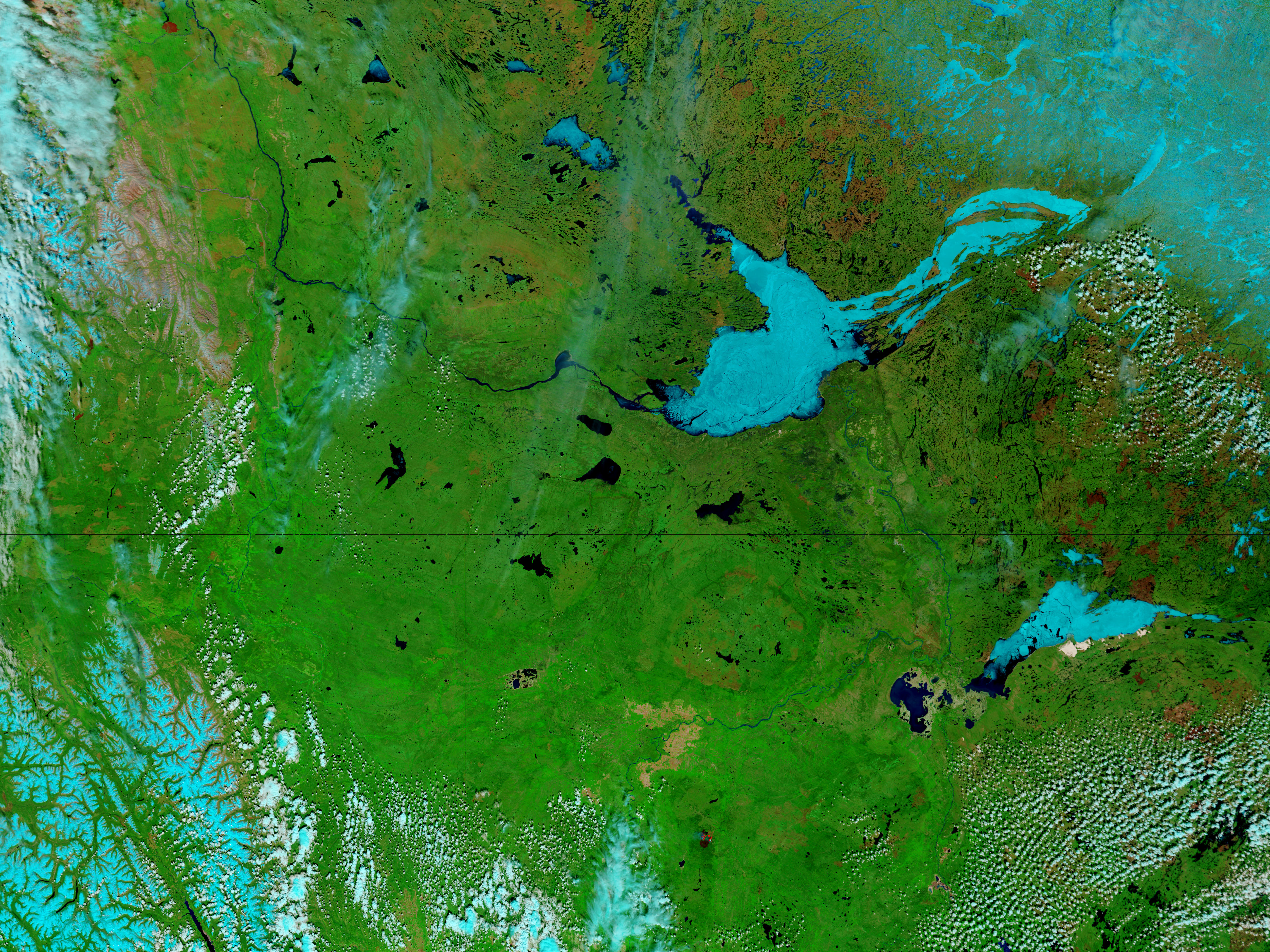
Cropped from the original 4800 x 3600 JPEG (4.4MB) image.
లైసెన్సింగ్
| This file is in the public domain in the United States because it was solely created by NASA. NASA copyright policy states that "NASA material is not protected by copyright unless noted". (See Template:PD-USGov, NASA copyright policy page or JPL Image Use Policy.) | ||
 |
Warnings:
|
ఫైలు చరితం
తేదీ/సమయం ను నొక్కి ఆ సమయాన ఫైలు ఎలా ఉండేదో చూడవచ్చు.
| తేదీ/సమయం | నఖచిత్రం | కొలతలు | వాడుకరి | వ్యాఖ్య | |
|---|---|---|---|---|---|
| ప్రస్తుత | 11:37, 18 ఆగస్టు 2006 | | 1,156 × 488 (173 KB) | Feydey | {{Information |Description= Lake Athabasca, Canada. Lake Athabasca straddles the border between Alberta (west) and Saskatchewan (east) - the black line. In the false-color image, vegetation is green, water is dark blue, and ice (or snow) is light blue. |S |
లింకులు
కింది పేజీలలో ఈ ఫైలుకు లింకులు ఉన్నాయి:
సార్వత్రిక ఫైలు వాడుక
ఈ దస్త్రాన్ని ఈ క్రింది ఇతర వికీలు ఉపయోగిస్తున్నాయి:
- af.wikipedia.org లో వాడుక
- ar.wikipedia.org లో వాడుక
- arz.wikipedia.org లో వాడుక
- be.wikipedia.org లో వాడుక
- bg.wikipedia.org లో వాడుక
- bn.wikipedia.org లో వాడుక
- bs.wikipedia.org లో వాడుక
- ca.wikipedia.org లో వాడుక
- ceb.wikipedia.org లో వాడుక
- cv.wikipedia.org లో వాడుక
- cy.wikipedia.org లో వాడుక
- da.wikipedia.org లో వాడుక
- el.wikipedia.org లో వాడుక
- en.wikipedia.org లో వాడుక
- eo.wikipedia.org లో వాడుక
- es.wikipedia.org లో వాడుక
- eu.wikipedia.org లో వాడుక
- fa.wikipedia.org లో వాడుక
- frr.wikipedia.org లో వాడుక
- fr.wikipedia.org లో వాడుక
- fy.wikipedia.org లో వాడుక
- hu.wikipedia.org లో వాడుక
- hy.wikipedia.org లో వాడుక
- id.wikipedia.org లో వాడుక
- incubator.wikimedia.org లో వాడుక
- it.wikipedia.org లో వాడుక
- ka.wikipedia.org లో వాడుక
- kk.wikipedia.org లో వాడుక
- ky.wikipedia.org లో వాడుక
- lt.wikipedia.org లో వాడుక
- lv.wikipedia.org లో వాడుక
- nl.wikipedia.org లో వాడుక
- no.wikipedia.org లో వాడుక
- pl.wikipedia.org లో వాడుక
- pl.wiktionary.org లో వాడుక
- pnb.wikipedia.org లో వాడుక
- pt.wikipedia.org లో వాడుక
- ro.wikipedia.org లో వాడుక
- ru.wikipedia.org లో వాడుక
- sv.wikipedia.org లో వాడుక
ఈ దస్త్రపు మరింత సార్వత్రిక వాడుకను చూడండి.