దస్త్రం:Wiltshire UK relief location map.jpg
Jump to navigation
Jump to search
ఈ మునుజూపు పరిమాణం: 492 × 600 పిక్సెళ్ళు. ఇతర రిజల్యూషన్లు: 197 × 240 పిక్సెళ్ళు | 394 × 480 పిక్సెళ్ళు | 630 × 768 పిక్సెళ్ళు | 840 × 1,024 పిక్సెళ్ళు | 2,005 × 2,444 పిక్సెళ్ళు.
అసలు దస్త్రం (2,005 × 2,444 పిక్సెళ్ళు, ఫైలు పరిమాణం: 508 KB, MIME రకం: image/jpeg)
This is a file from the Wikimedia Commons. Information from its description page there is shown below. Commons is a freely licensed media file repository. You can help. |
| వివరణ |
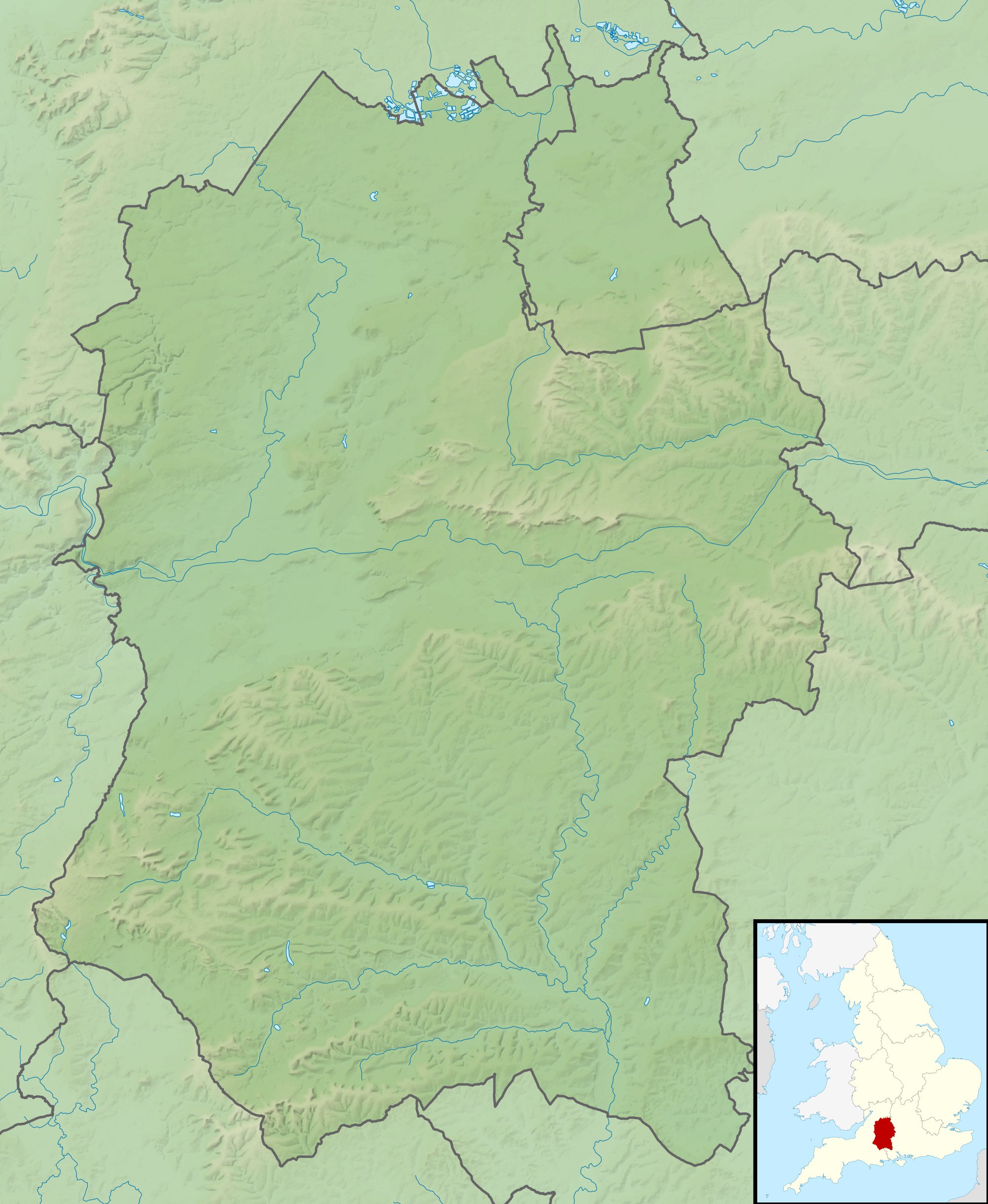
Relief map of Wiltshire, UK. Equirectangular map projection on WGS 84 datum, with N/S stretched 160% Geographic limits:
|
| తేదీ | |
| మూలం |
|
| కర్త | Nilfanion, created using Ordnance Survey data |
| అనుమతి (ఈ దస్త్రాన్ని పునర్వినియోగించుకోవడం) |
ఈ దస్త్రం క్రియేటివ్ కామన్స్ Attribution-Share Alike 3.0 Unported లైసెన్సు క్రింద లభ్యం. ఆపాదింపు: Contains Ordnance Survey data © Crown copyright and database right
|
| ఇతర కూర్పులు | File:Wiltshire UK district map (blank).svg - Blank map |
.svg)
ఫైలు చరితం
తేదీ/సమయం ను నొక్కి ఆ సమయాన ఫైలు ఎలా ఉండేదో చూడవచ్చు.
| తేదీ/సమయం | నఖచిత్రం | కొలతలు | వాడుకరి | వ్యాఖ్య | |
|---|---|---|---|---|---|
| ప్రస్తుత | 02:03, 29 నవంబరు 2011 | | 2,005 × 2,444 (508 KB) | Nilfanion | {{Information |Description=Relief map of Wiltshire, UK. Equirectangular map projection on WGS 84 datum, with N/S stretched 160% Geographic limits: *West: 2.40W *East: 1.35W *North: 51.72N *South: 50.92N |Source=[[w:Ordnance Survey|Ordnan |
లింకులు
కింది పేజీలలో ఈ ఫైలుకు లింకులు ఉన్నాయి:
సార్వత్రిక ఫైలు వాడుక
ఈ దస్త్రాన్ని ఈ క్రింది ఇతర వికీలు ఉపయోగిస్తున్నాయి:
- ar.wikipedia.org లో వాడుక
- bg.wikipedia.org లో వాడుక
- bh.wikipedia.org లో వాడుక
- ceb.wikipedia.org లో వాడుక
- cy.wikipedia.org లో వాడుక
- en.wikipedia.org లో వాడుక
- River Avon, Hampshire
- Battle of Roundway Down
- Avebury
- Stourhead
- Windmill Hill, Avebury
- The Sanctuary
- Kennet Avenue
- Stonehenge Landscape
- Fonthill Lake
- Shearwater (lake)
- Milk Hill
- Cunetio
- Win Green Down
- Wilton Water
- White Barrow
- Vespasian's Camp
- Battle of Aldbourne Chase
- Bluestonehenge
- Overton Hill
- Challenge Tour Championship
- Martinsell Hill
- River Sem
- Module:Location map/data/United Kingdom Wiltshire
- Module:Location map/data/Wiltshire
- Module:Location map/data/United Kingdom Wiltshire/doc
- Poisoning of Sergei and Yulia Skripal
- Roundway Park
- Siege of Wardour Castle
- Alvediston Manor
- Bath House at Corsham Court
- Moat House, Britford
- es.wikipedia.org లో వాడుక
- fa.wikipedia.org లో వాడుక
ఈ దస్త్రపు మరింత సార్వత్రిక వాడుకను చూడండి.