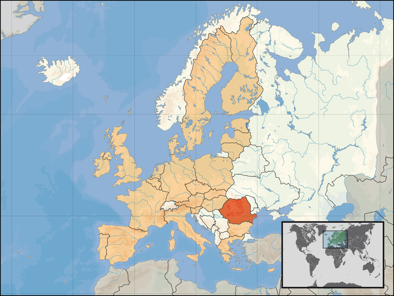
దస్త్రం:EU location ROM.png
Jump to navigation
Jump to search

ఈ మునుజూపు పరిమాణం: 800 × 600 పిక్సెళ్ళు. ఇతర రిజల్యూషన్లు: 320 × 240 పిక్సెళ్ళు | 640 × 480 పిక్సెళ్ళు | 1,024 × 768 పిక్సెళ్ళు | 1,280 × 960 పిక్సెళ్ళు | 1,600 × 1,200 పిక్సెళ్ళు.
అసలు దస్త్రం (1,600 × 1,200 పిక్సెళ్ళు, ఫైలు పరిమాణం: 470 KB, MIME రకం: image/png)
ఫైలు చరితం
తేదీ/సమయం ను నొక్కి ఆ సమయాన ఫైలు ఎలా ఉండేదో చూడవచ్చు.
| తేదీ/సమయం | నఖచిత్రం | కొలతలు | వాడుకరి | వ్యాఖ్య | |
|---|---|---|---|---|---|
| ప్రస్తుత | 19:49, 8 మే 2007 |  | 1,600 × 1,200 (470 KB) | Tene~commonswiki | Further optimised using DeflOpt (0;4192) |
| 20:30, 23 ఫిబ్రవరి 2007 |  | 1,600 × 1,200 (528 KB) | Tene~commonswiki | Optimised (0) | |
| 03:00, 1 జనవరి 2007 |  | 1,600 × 1,200 (711 KB) | David Liuzzo | {{Information| |Description= {{de|Lage der Republik Rumänien in Europa und in der Europäischen Union am 1. Januar 2007 }} {{en|Location of Romania within Europe and the [[European Union |
లింకులు
కింది పేజీలలో ఈ ఫైలుకు లింకులు ఉన్నాయి:
సార్వత్రిక ఫైలు వాడుక
ఈ దస్త్రాన్ని ఈ క్రింది ఇతర వికీలు ఉపయోగిస్తున్నాయి:
- arz.wikipedia.org లో వాడుక
- ay.wikipedia.org లో వాడుక
- da.wiktionary.org లో వాడుక
- de.wikibooks.org లో వాడుక
- de.wiktionary.org లో వాడుక
- dsb.wikipedia.org లో వాడుక
- et.wikipedia.org లో వాడుక
- eu.wiktionary.org లో వాడుక
- fo.wikipedia.org లో వాడుక
- fr.wikipedia.org లో వాడుక
- fur.wikipedia.org లో వాడుక
- gv.wikipedia.org లో వాడుక
- haw.wikipedia.org లో వాడుక
- hif.wikipedia.org లో వాడుక
- ht.wikipedia.org లో వాడుక
- hu.wikinews.org లో వాడుక
- hu.wikiquote.org లో వాడుక
- incubator.wikimedia.org లో వాడుక
- it.wikivoyage.org లో వాడుక
- kg.wikipedia.org లో వాడుక
- kn.wikipedia.org లో వాడుక
- kv.wikipedia.org లో వాడుక
- mhr.wikipedia.org లో వాడుక
- ml.wikipedia.org లో వాడుక
- nds-nl.wikipedia.org లో వాడుక
- no.wikipedia.org లో వాడుక
- pdc.wikipedia.org లో వాడుక
- pl.wikinews.org లో వాడుక
- pl.wikiquote.org లో వాడుక
- pl.wiktionary.org లో వాడుక
- pt.wiktionary.org లో వాడుక
ఈ దస్త్రపు మరింత సార్వత్రిక వాడుకను చూడండి.
