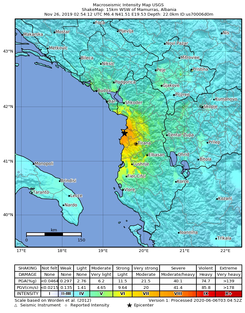
దస్త్రం:2019-11-26 Mamurras, Albania M6.4 earthquake shakemap (USGS).jpg
Jump to navigation
Jump to search
ఈ మునుజూపు పరిమాణం: 471 × 600 పిక్సెళ్ళు. ఇతర రిజల్యూషన్లు: 188 × 240 పిక్సెళ్ళు | 377 × 480 పిక్సెళ్ళు | 786 × 1,001 పిక్సెళ్ళు.
అసలు దస్త్రం (786 × 1,001 పిక్సెళ్ళు, ఫైలు పరిమాణం: 388 KB, MIME రకం: image/jpeg)
This is a file from the Wikimedia Commons. Information from its description page there is shown below. Commons is a freely licensed media file repository. You can help. |
.jpg)
సారాంశం
| వివరణ | |
| తేదీ | |
| మూలం | https://earthquake.usgs.gov/earthquakes/eventpage/us70006d0m |
| కర్త | United States Geological Survey |
లైసెన్సింగ్
This image is in the public domain in the United States because it only contains materials that originally came from the United States Geological Survey, an agency of the United States Department of the Interior. For more information, see the official USGS copyright policy.
|
ఫైలు చరితం
తేదీ/సమయం ను నొక్కి ఆ సమయాన ఫైలు ఎలా ఉండేదో చూడవచ్చు.
| తేదీ/సమయం | నఖచిత్రం | కొలతలు | వాడుకరి | వ్యాఖ్య | |
|---|---|---|---|---|---|
| ప్రస్తుత | 11:34, 2 సెప్టెంబరు 2020 | | 786 × 1,001 (388 KB) | IllCom | New Version by USGS |
| 00:04, 19 డిసెంబరు 2019 |  | 799 × 1,027 (384 KB) | Cewbot | Import USGS updated earthquake map, shakemap id: urn:usgs-product:us:shakemap:us70006d0m:1576710484988 (2019-12-18T23:08:04.988Z) | |
| 06:03, 28 నవంబరు 2019 |  | 799 × 1,027 (384 KB) | Cewbot | Import USGS updated earthquake map, shakemap id: urn:usgs-product:us:shakemap:us70006d0m:1574918746692 (2019-11-28T05:25:46.692Z) | |
| 04:03, 27 నవంబరు 2019 |  | 799 × 1,027 (384 KB) | Cewbot | Import USGS updated earthquake map, shakemap id: urn:usgs-product:us:shakemap:us70006d0m:1574823443193 (2019-11-27T02:57:23.193Z) | |
| 06:03, 26 నవంబరు 2019 |  | 799 × 1,027 (384 KB) | Cewbot | Import USGS updated earthquake map, shakemap id: urn:usgs-product:us:shakemap:us70006d0m:1574744239038 (2019-11-26T04:57:19.038Z) | |
| 04:05, 26 నవంబరు 2019 |  | 799 × 1,027 (384 KB) | Cewbot | Import USGS earthquake map, shakemap id: urn:usgs-product:us:shakemap:us70006d0m:1574739829558 (2019-11-26T03:43:49.558Z) |
లింకులు
కింది పేజీలలో ఈ ఫైలుకు లింకులు ఉన్నాయి:
సార్వత్రిక ఫైలు వాడుక
ఈ దస్త్రాన్ని ఈ క్రింది ఇతర వికీలు ఉపయోగిస్తున్నాయి:
- az.wikipedia.org లో వాడుక
- bg.wikipedia.org లో వాడుక
- de.wikipedia.org లో వాడుక
- el.wikipedia.org లో వాడుక
- en.wikipedia.org లో వాడుక
- es.wikipedia.org లో వాడుక
- fr.wikipedia.org లో వాడుక
- he.wikipedia.org లో వాడుక
- hr.wikipedia.org లో వాడుక
- hu.wikipedia.org లో వాడుక
- id.wikipedia.org లో వాడుక
- it.wikipedia.org లో వాడుక
- ja.wikipedia.org లో వాడుక
- mr.wikipedia.org లో వాడుక
- pl.wikipedia.org లో వాడుక
- pt.wikipedia.org లో వాడుక
- ro.wikipedia.org లో వాడుక
- ru.wikipedia.org లో వాడుక
- sq.wikipedia.org లో వాడుక
- tr.wikipedia.org లో వాడుక
- www.wikidata.org లో వాడుక
- zh.wikipedia.org లో వాడుక
.jpg)