దస్త్రం:Ap-districts.png
Jump to navigation
Jump to search

ఈ మునుజూపు పరిమాణం: 722 × 600 పిక్సెళ్ళు. ఇతర రిజల్యూషన్లు: 289 × 240 పిక్సెళ్ళు | 578 × 480 పిక్సెళ్ళు | 925 × 768 పిక్సెళ్ళు | 1,233 × 1,024 పిక్సెళ్ళు | 2,487 × 2,066 పిక్సెళ్ళు.
అసలు దస్త్రం (2,487 × 2,066 పిక్సెళ్ళు, ఫైలు పరిమాణం: 714 KB, MIME రకం: image/png)
This is a file from the Wikimedia Commons. Information from its description page there is shown below. Commons is a freely licensed media file repository. You can help. |
| వివరణ |
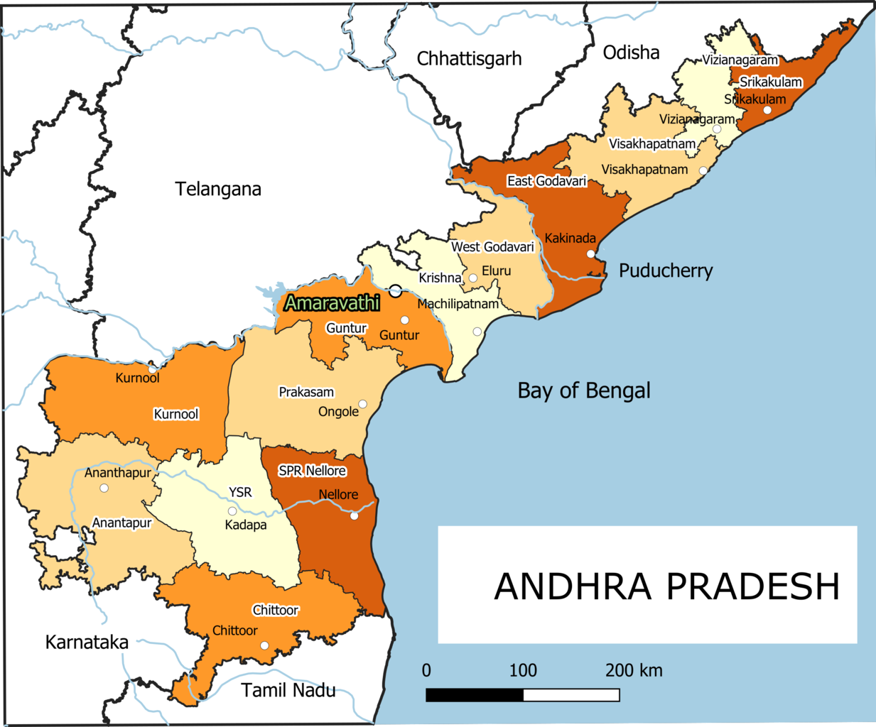
English: Old Andhra Pradesh Map
For more information please see: File:ఆంధ్రప్రదేశ్ జిల్లాల పటము.png |
| తేదీ | |
| మూలం | స్వంత కృతి |
| కర్త | Arjunaraoc |
| ఇతర కూర్పులు | For the latest version see File:Ap-districts.svg |
; for older version see https://commons.wikimedia.org/w/index.php?title=File:Map_AP_dist_all_shaded.png&oldid=344558866 ,
లైసెన్సింగ్
నేను, ఈ కృతి యొక్క కాపీహక్కుదారుని, దీన్ని ఈ లైసెన్సు క్రింద ఇందుమూలముగా ప్రచురిస్తున్నాను:
| This work contains information from OpenStreetMap, which is made available under the Open Database License (ODbL).
The ODbL does not require any particular license for maps produced from ODbL data. Prior to 1 August 2020, map tiles produced by the OpenStreetMap Foundation were licensed under the CC-BY-SA-2.0 license. Maps produced by other people may be subject to other licences. |
ఫైలు చరితం
తేదీ/సమయం ను నొక్కి ఆ సమయాన ఫైలు ఎలా ఉండేదో చూడవచ్చు.
| తేదీ/సమయం | నఖచిత్రం | కొలతలు | వాడుకరి | వ్యాఖ్య | |
|---|---|---|---|---|---|
| ప్రస్తుత | 12:12, 25 డిసెంబరు 2021 | | 2,487 × 2,066 (714 KB) | Arjunaraoc | Created new version with clean state boundaries using OSM and natural earth data |
| 09:29, 27 మార్చి 2019 |  | 2,485 × 2,064 (770 KB) | Arjunaraoc | fixed few labels going outside graphic | |
| 08:01, 27 మార్చి 2019 |  | 2,485 × 2,064 (770 KB) | Arjunaraoc | Corrected the boundaries of Andhra Pradesh districts impacted by State division in 2014. For more information check details in File:ఆంధ్రప్రదేశ్ జిల్లాల పటము.png | |
| 08:21, 2 నవంబరు 2015 |  | 600 × 600 (76 KB) | Kannadabheri | Cross-wiki upload from en.wikipedia.org |
లింకులు
ఈ ఫైలును వాడుతున్న పేజీలు లేవు.
సార్వత్రిక ఫైలు వాడుక
ఈ దస్త్రాన్ని ఈ క్రింది ఇతర వికీలు ఉపయోగిస్తున్నాయి:
- bn.wikipedia.org లో వాడుక
- ha.wikipedia.org లో వాడుక
- hi.wikipedia.org లో వాడుక
- hu.wikipedia.org లో వాడుక
- oc.wikipedia.org లో వాడుక
- sat.wikipedia.org లో వాడుక
- sd.wikipedia.org లో వాడుక
- tcy.wikipedia.org లో వాడుక