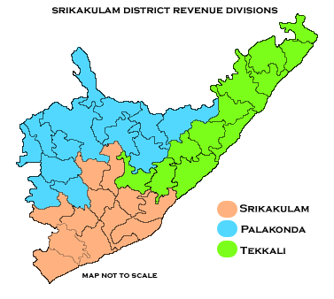
మూస:Location map India Andhra Pradesh srikakulam district
స్వరూపం
| name | శ్రీకాకుళం జిల్లా | |||
|---|---|---|---|---|
| border coordinates | ||||
| 19.13 | ||||
| 83.4 | ←↕→ | 84.85 | ||
| 17.94 | ||||
| map center | 18°32′06″N 84°07′30″E / 18.535°N 84.125°E | |||
| image | Revenue divisions map of Srikakulam district.png
| |||

| ||||
