దస్త్రం:India Punjab location map.svg

అసలు దస్త్రం (SVG ఫైలు, నామమాత్రంగా 979 × 1,086 పిక్సెళ్ళు, ఫైలు పరిమాణం: 311 KB)
This is a file from the Wikimedia Commons. Information from its description page there is shown below. Commons is a freely licensed media file repository. You can help. |
సారాంశం
| వివరణ |
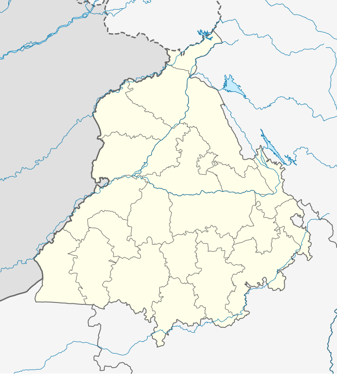
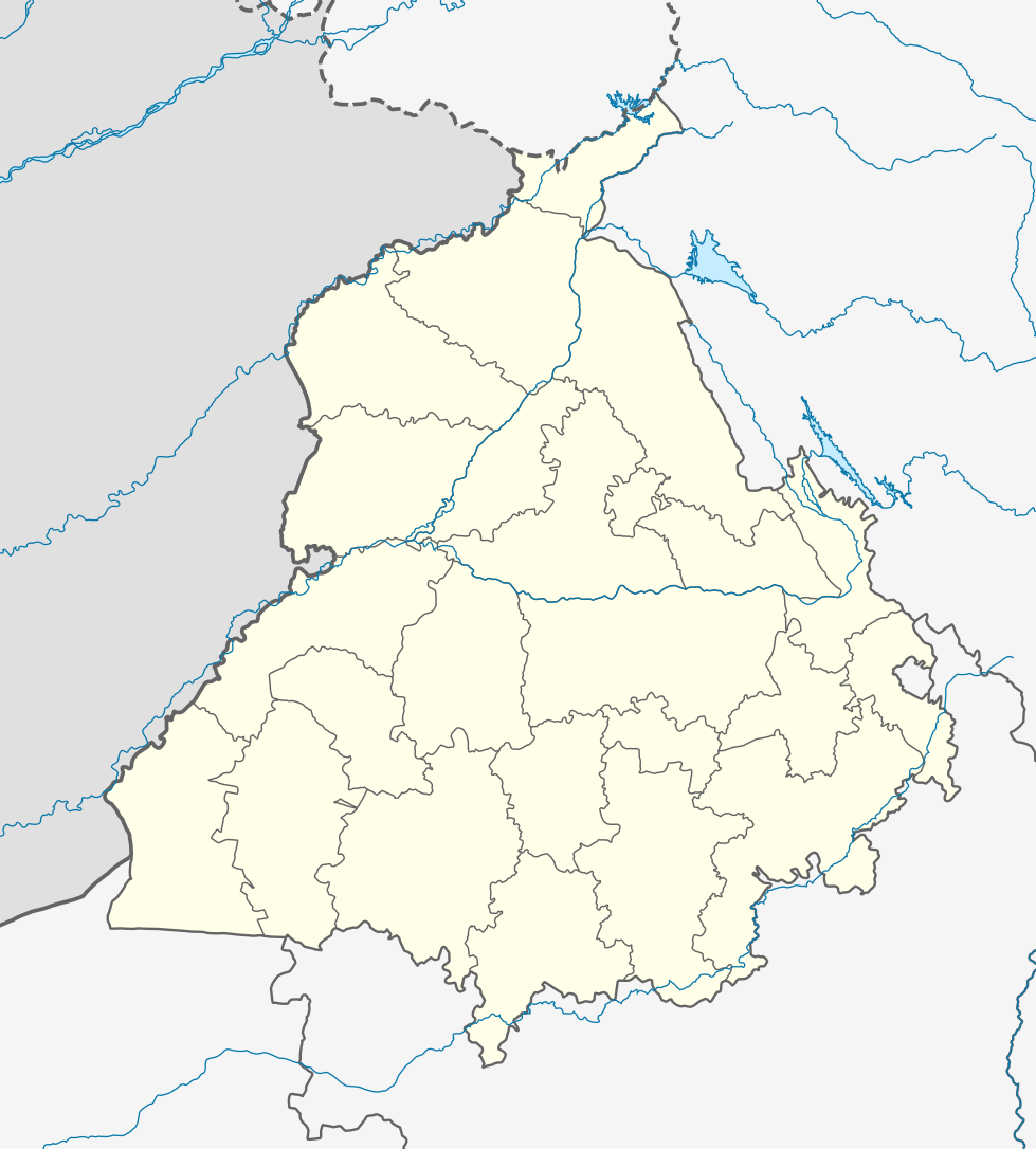
Quadratische Plattkarte, N-S-Streckung 117 %. Geographische Begrenzung der Karte:
Equirectangular projection, N/S stretching 117 %. Geographic limits of the map:
|
|
| తేదీ | ||
| మూలం |
స్వంత కృతి, using
|
|
| కర్త | NordNordWest | |
| అనుమతి (ఈ దస్త్రాన్ని పునర్వినియోగించుకోవడం) |
ఈ దస్త్రం క్రియేటివ్ కామన్స్ ఆపాదింపు-యథాతథ పంచుకోలు 3.0 జర్మనీ లైసెన్సు క్రింద లభ్యం.
 ఈ దస్త్రం క్రియేటివ్ కామన్స్ ఆపాదింపు-యథాతథ పంచుకోలు 3.0 జర్మనీ లైసెన్సు క్రింద లభ్యం.
|


|
This map has been made or improved in the German Kartenwerkstatt (Map Lab). You can propose maps to improve as well.
|
ఫైలు చరితం
తేదీ/సమయం ను నొక్కి ఆ సమయాన ఫైలు ఎలా ఉండేదో చూడవచ్చు.
| తేదీ/సమయం | నఖచిత్రం | కొలతలు | వాడుకరి | వ్యాఖ్య | |
|---|---|---|---|---|---|
| ప్రస్తుత | 04:19, 19 ఆగస్టు 2022 | | 979 × 1,086 (311 KB) | C1MM | Fixed Ludhiana district |
| 04:03, 19 ఆగస్టు 2022 |  | 979 × 1,086 (312 KB) | C1MM | Resized to original size | |
| 03:57, 19 ఆగస్టు 2022 |  | 951 × 898 (324 KB) | C1MM | Added Malerkotla district, fixed rivers and disputed boundaries for Jammu and Kashmir | |
| 03:23, 15 జనవరి 2021 |  | 1,049 × 1,161 (114 KB) | C1MM | Added Tan Taran district | |
| 18:11, 24 అక్టోబరు 2020 |  | 1,049 × 1,161 (110 KB) | C1MM | Updated districts | |
| 17:41, 4 మే 2012 |  | 1,049 × 1,161 (107 KB) | NordNordWest | upd | |
| 20:24, 19 మే 2010 |  | 1,049 × 1,161 (104 KB) | NordNordWest | c | |
| 20:11, 19 మే 2010 |  | 1,049 × 1,161 (105 KB) | NordNordWest | =={{int:filedesc}}== {{Information |Description= {{de|Positionskarte von Punjab, Indien}} Quadratische Plattkarte, N-S-Streckung 117 %. Geographische Begrenzung der Karte: * N: 32.8° N * S: 29.3° N * W: 73.5° O * |
లింకులు
ఈ ఫైలును 100 కంటే ఎక్కువ పేజీలు వాడుతున్నాయి. ఈ ఫైలును మాత్రమే వాడుతున్న మొదటి 100 పేజీలను ఈ క్రింది జాబితా చూపిస్తుంది. పూర్తి జాబితా ఉంది.
- అచింట్ కోట్
- అజైబ్వాలి
- అత్తారి
- అత్వాల్
- అద్లివాలా
- అనయత్ పుర
- అబు సయ్యద్
- అర్జన్ మాంగే
- అలివాల్
- అల్కారే
- ఔదార్
- కండోవాలి
- కంబొహ్
- కట్లా
- కమల్పుర
- కమస్కా
- కమీర్పూర్
- కమ్మొంకె
- కర్తర్పూర్
- కర్యల్
- కలెకె
- కలెక్
- కలెర్ గుమ్మన్
- కలెర్ బాలపా
- కలెర్ మంగత్
- కలెవాలా
- కల్లొ మహల్
- కాకర్
- కాథూనంగల్
- కావె
- కైరన్ నంగల్
- కొత్ ఘుర్బక్ష్
- కొత్ల దసొంధి
- కొత్లా మఝెవాల
- కొత్లా సుల్తాన్ సింగ్
- కొత్లా సూరజ్ లోహర్
- కొత్లా సైదాన్
- కొత్లాఅహన్గరన్
- కొత్లాకజియన్
- కొత్లాఖుర్ద్
- కొత్లాగుజ్జరన్
- కొత్లాదాల్సింగ్
- కొత్లాపిర్తు
- కొత్లాబాతున్ఘర్
- కొత్లాసర్దార్
- కొత్లి అంబ్
- కొత్లి ఔలఖ్
- కొత్లి కొరొతాన
- కొత్లి ఖజియన్
- కొత్లి ఖైర
- కొత్లి జమైత్ సింగ్
- కొత్లి ధొలె షా
- కొత్లి మల్లియన్
- కొత్లికొక
- కొహల
- కొహలి
- కోత్ కేసర్సింగ్
- కోత్ హిర్దెరామ్
- కోత్లాదూమ్
- కోత్ఖేరా
- కోత్ముగల్
- కోత్రజద
- కోత్హయత్
- కౌలోవాల్
- ఖత్రైకలన్
- ఖత్రైఖుర్ద్
- ఖబ్బెరాజపుతాన్
- ఖల్హెర
- ఖాజీకోట్
- ఖానొవాల్
- ఖాన్పూర్
- ఖాన్వాల్
- ఖాపర్ఖేరి
- ఖాసా
- ఖుర్మనియన్
- ఖెర
- ఖెరథానెవాల
- ఖేల
- ఖైలకలన్
- ఖైలఖుర్ద్
- నేష్తా
- ఫరీద్కోట్
- ఫిరోజ్పూర్
- బర్నాలా
- భటిండా
- వంచారి
- వంఝన్ వాలా
- వచ్ఛోవా
- వజీర్ భుల్లార్
- వడల కలాన్
- వడల ఖుర్ద్
- వడల జోహాల్
- వడల భిటేవధ్
- వడాలి డోర్గాన్
- వరైఛ్
- వర్పాల్
- వర్యం నంగాల్
- వర్యా
- వెరోకె
- వెహ్రా
ఈ ఫైలుకు ఉన్న మరిన్ని లింకులను చూపించు
సార్వత్రిక ఫైలు వాడుక
ఈ దస్త్రాన్ని ఈ క్రింది ఇతర వికీలు ఉపయోగిస్తున్నాయి:
- ar.wikipedia.org లో వాడుక
- as.wikipedia.org లో వాడుక
- azb.wikipedia.org లో వాడుక
- علیپور-۲
- علیپور-۱
- علی چاک
- علادینپور
- علیخل، جالاندر
- فول ماکاوری
- فیالی (هیندوستان)
- فاروالا, جالاندهار
- فارالا
- فانقوتا
- فامبرا
- فالپوتا
- ساروپوال
- ساروپوال, سولطانپور لودهی
- سارتی, قورداسپور
- سارنانا
- سارینه, لودهیانا
- سارینه, جالاندهار
- سارهالی
- سارهالی, جالاندهار
- سارهال کازیان
- سارهال موندی
- سارقوندی
- سارانقوال
- سارانقرا
- سارای خاس
- سارای خام
- سارای جاتان
- ساپرور
- مدا, پنجاب
- مازاری, اسبیاس ناقار
- مازارا ناو آباد
- مازارا خورد
- مازارا کالان
- سانورا
- ماوای, جالاندهار
- ماولی, فاقوارا
- ماوجیا
- ماو, پنجاب
- ماتوی, پنجاب
- سانقرای
- سانقرا, سولطانپور لودهی
- سانقووال
- سانقوجلا
- سانقول
- سانقرا (کند)
ఈ దస్త్రపు మరింత సార్వత్రిక వాడుకను చూడండి.